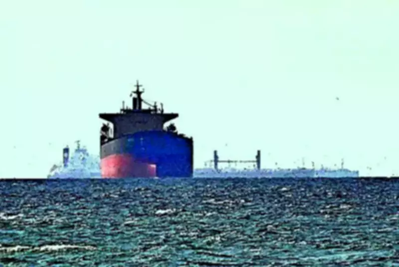
Indian Navy Tracks Altered Cargo Vessel Traffic in Persian Gulf Amid Heightened Security Concerns
The Indian Navy has documented a significant and observable shift in the routing patterns of cargo vessels operating within the strategically vital Persian Gulf region. According to the latest weekly advisory from the Navy's Information Fusion Centre for the Indian Ocean Region (IFC-IOR), a notable proportion of maritime traffic is now transiting through a controlled corridor situated in close proximity to Larak Island.
Facilitated Passage and Diplomatic Coordination Suspected
The naval report explicitly suggests that this emerging routing behavior may indicate the possibility of certain vessels receiving "facilitated passage." This facilitation is believed to be orchestrated through active diplomatic coordination, allowing these ships to navigate while deliberately remaining outside the internationally established and recognized traffic lanes. This development points to a complex, adaptive operational environment in one of the world's most critical maritime chokepoints.
Maritime Security Environment Remains Critically Tense
The Indian Navy continues to assess the maritime security situation across the Strait of Hormuz, the Persian Gulf, and the Gulf of Oman as critically unstable. The environment is characterized by what the Navy describes as a "structured, adaptive threat campaign" and an "increasingly controlled transit environment." This assessment follows reports that Iran closed the Strait of Hormuz to cargo vessels again, an action occurring less than twenty-four hours after agreeing to a ceasefire deal with the United States, underscoring the region's volatility.

Transit activity through these waters persists at "historically suppressed levels," with vessel movements being both limited and highly irregular. Compounding the challenge for maritime domain awareness, a significant proportion of marine traffic remains either unreported or is operating under constraints related to their Automatic Identification System (AIS) signals.
Multi-Layered Threats and Navigational Challenges
The IFC-IOR has identified operational patterns confirming a perilous "multi-layered threat environment." This includes:
- Direct Attacks: Threats from drones and debris originating from intercepted missiles.
- Falling Debris: Continues to pose a credible and persistent hazard to both vessels and their crews.
- Electronic Interference: The Navy reports persistent GPS interference and deliberate AIS signal manipulation across key transit corridors.
This electronic warfare significantly degrades navigational reliability and further obscures maritime situational awareness for all actors in the region. Concurrently, AIS data analysis has revealed another tactical adaptation: vessels are embedding country-linked identifiers within their destination fields. This is assessed as a deliberate measure adopted by ship operators to mitigate perceived threats during transit through this hostile region.
Broader Economic and Safety Implications
The cumulative impact of these security challenges continues to exert severe pressure on global systems. The Navy's report notes that the situation is straining international energy flows, disrupting complex supply chains, and sustaining elevated war risk premiums for shipping and insurance. In light of these enduring threats, the Indian Navy continues to strongly advise all shipping companies and vessel crews to exercise extreme caution. Strict adherence to all established maritime safety protocols is deemed essential while navigating this war-torn and unpredictable region.