US Trade Office Deletes Controversial Map After Sparking International Debate
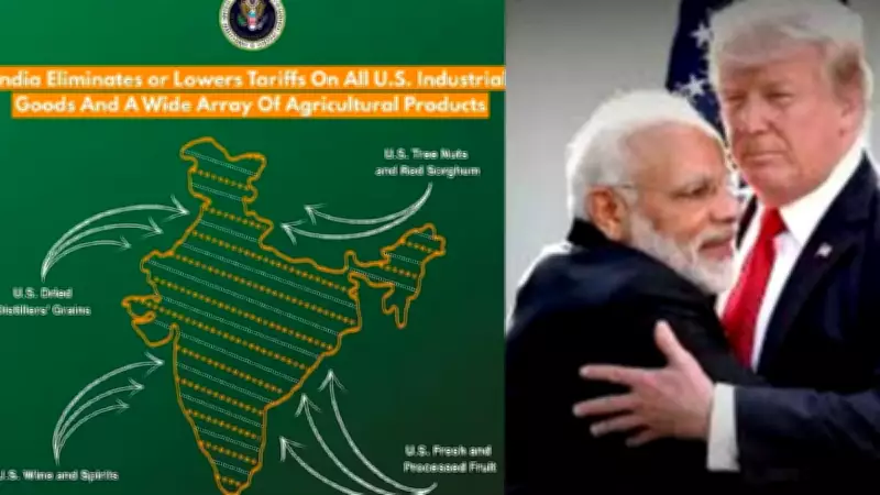
The United States Trade Representative (USTR) office has deleted a map that showed Pakistan-occupied Kashmir (PoK) and the Aksai Chin region as integral parts of India, following a significant diplomatic and public debate. This map was originally uploaded last week to illustrate Washington's latest trade agreement with New Delhi, but it quickly drew attention for its stark deviation from long-standing American cartographic conventions.
Map Upload Triggers Immediate Controversy
The map, which was part of a presentation highlighting enhanced US-India trade relations, raised eyebrows across international circles. Many observers noted that it represented a sharp departure from the traditional American practice of maintaining neutrality in depicting disputed territories. Historically, US maps have often shown these regions with dotted lines or labels indicating their contested status, rather than unequivocally assigning them to India.
The deletion occurred after the map triggered widespread discussion, with analysts suggesting it could be interpreted as a subtle shift in US policy or merely an administrative oversight. The timing is particularly sensitive, given ongoing tensions in the region involving India, Pakistan, and China.

Reactions and Implications of the Cartographic Shift
Reactions to the map have been mixed, with some viewing it as a supportive gesture towards India amid trade negotiations, while others criticized it for potentially inflaming regional disputes. Key points from the debate include:
- Diplomatic Sensitivity: The depiction of PoK and Aksai Chin as Indian territory challenges the neutral stance often adopted by the US in South Asian territorial conflicts.
- Trade Context: The map was used to underscore a new trade pact, raising questions about whether cartographic choices are influenced by economic partnerships.
- Historical Precedent: American maps have typically avoided taking sides in such disputes, making this instance notable for its apparent alignment with Indian claims.
Following the backlash, the USTR office removed the map from its official materials, though no formal statement has been issued regarding the deletion. This action has further fueled speculation about the intent behind the original upload and the pressures that led to its removal.
Broader Impact on US-India Relations and Global Perceptions
This incident highlights the intricate interplay between trade diplomacy and geopolitical signaling. As the US and India deepen their economic ties, such symbolic gestures can carry significant weight in international relations. The deletion may reflect a recalibration to avoid alienating other key players like Pakistan and China, both of which have vested interests in the disputed territories.
In summary, the US trade office's brief use of a map showing PoK and Aksai Chin as part of India has ignited a debate over cartographic neutrality and diplomatic messaging. While the map has been deleted, the discussion it sparked underscores the ongoing complexities of territorial disputes in South Asia and the careful balance required in global diplomacy.