Odisha to Implement QR Codes on Land Ownership Documents for Enhanced Verification
In a significant move to modernize land administration, Odisha is set to introduce QR codes on all land ownership documents, enabling buyers and government officials to instantly verify critical details such as past ownership, location, and transaction history. Revenue and Disaster Management Minister Suresh Pujari announced this initiative in Bhubaneswar on Thursday, highlighting its potential to streamline property transactions and curb fraudulent activities.
QR Codes to Replace Traditional Encumbrance Certificates
Currently, buyers rely on tehsil offices to obtain an encumbrance certificate (EC), which provides a 30-year record of registered transactions like sales, mortgages, or liens for a specific property. Minister Pujari explained that each land patta, or record of rights, will now feature a QR code. When scanned, this code will display a comprehensive property profile, including its location, map, and purchase history. This system will offer historical data beyond the EC's 30-year window, helping buyers verify the land's current status more effectively.
The introduction of QR-coded pattas is expected to eliminate the need for ECs during land purchases, thereby reducing bureaucratic delays and minimizing litigation risks associated with fraudulent sales. Pujari emphasized that the digitally generated records will be tamper-proof, with any illegal modifications triggering immediate alerts to revenue inspectors and tehsildars.

Comprehensive Land Survey and Database Integration
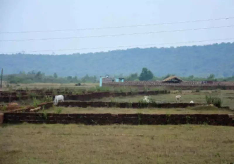
As part of this initiative, Odisha will undertake a comprehensive land survey across the state to assess the extent of both government and private land. A consolidated database will be prepared, capturing details of land allotted by various government departments and its current utilization. This aims to improve land management and accountability.
The survey will integrate three layers of data onto a unified GIS platform:
- Spatial data from high-resolution satellite imagery and aerial photography.
- Maps from the Survey of India and the Forest Survey of India.
- Revenue data from cadastral maps and records of rights (RoRs).
Each plot will be represented on the digital map as a closed polygon identified by a unique plot number. These plot numbers will be linked with the RoR database to synchronize map data with textual land records. A QR scan will provide access to both the digital map of the plot and its detailed RoR information, which includes ownership details, land classification, usage, irrigation status, and parcel dimensions.
Part of Digital India Land Records Modernisation Programme
This initiative is a key component of the Centre's Digital India Land Records Modernisation Programme (DILRMP), a fully centrally funded scheme launched in 2016. The programme mandates digitally signed land records, and several states have already begun issuing digital RoRs with QR codes for authentication. While Odisha has largely digitized its land records under DILRMP, the introduction of QR-coded pattas marks the next phase in the state's land reform efforts, aiming to enhance transparency and efficiency in property transactions.