Consider a flood situation in Assam. Thick cloud cover can obscure the view from traditional optical satellites, making it difficult to assess the scale of damage on the ground. Radar satellites, on the other hand, can penetrate clouds and track the spread of floodwaters, but the images they produce are often less intuitive and harder to interpret.
A new Indian satellite aims to bridge this gap in real time — and could reshape the way Earth is observed from space. Named 'Drishti', which means 'vision' in Hindi, this satellite is designed to combine the strengths of both optical and radar imaging. It will be capable of capturing high-resolution optical images while simultaneously using synthetic aperture radar to see through clouds and darkness.
How Drishti Works
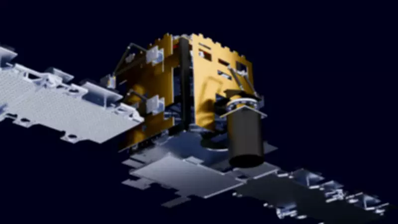
Drishti carries a dual-mode payload: a high-resolution optical camera and a C-band synthetic aperture radar. This allows it to switch between modes or operate both simultaneously. The satellite orbits at an altitude of about 600 kilometers in a sun-synchronous orbit, ensuring frequent revisits over the same area.

One of the key innovations is its real-time data processing capability. Instead of sending raw data to ground stations, Drishti can process images onboard and transmit only the relevant information. This reduces latency from hours to minutes, making it invaluable for disaster response.
Applications in Disaster Management
During floods, Drishti can provide clear images of inundated areas even under heavy cloud cover. For cyclones, it can track storm surges and damage. In earthquakes, it can detect ground deformations using radar interferometry. The satellite's ability to see through smoke also aids in forest fire monitoring.
Beyond disasters, Drishti will support agriculture by assessing crop health and soil moisture, urban planning through infrastructure monitoring, and defense surveillance.
India's Growing Space Capabilities
Drishti is part of India's push towards advanced Earth observation. The Indian Space Research Organisation (ISRO) has been developing smaller, more capable satellites. Drishti weighs around 1,500 kilograms and is expected to have a mission life of seven years.
International partners have shown interest in accessing Drishti's data. The satellite could complement global systems like NASA's Landsat and ESA's Sentinel missions, offering higher temporal resolution and all-weather capability.
Challenges and Future Plans
Developing a dual-mode payload was technically challenging, requiring precise alignment and calibration. ISRO engineers also had to ensure the satellite's power systems could handle both instruments running simultaneously.
Future versions of Drishti may include hyperspectral imaging and artificial intelligence for automated feature recognition. ISRO is also planning a constellation of such satellites to provide global coverage with hourly revisit times.
With Drishti, India is not just observing Earth — it is redefining how we see our planet, offering clarity in the midst of chaos.