NISAR Satellite Revolutionizes Indian Agriculture with High-Resolution Soil Moisture Data
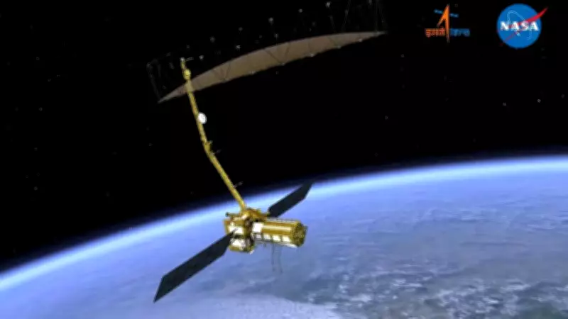
The Indian Space Research Organisation (ISRO) announced on Saturday that the NASA-ISRO Synthetic Aperture Radar (NISAR) satellite, a joint Indo-US venture and the world's most expensive satellite, is now delivering vital high-resolution data of the Indian landmass. This data is proving instrumental in enhancing the country's agriculture and water management strategies.
High-Resolution Soil Moisture Products
ISRO stated that the satellite's data, captured in both S and L bands, has been effectively used to generate soil-moisture products at an impressive resolution of 100 meters. Soil moisture is a critical indicator for assessing crop health, determining irrigation needs, and evaluating drought risks, making it essential for India's agricultural and water resource planning.
The space agency emphasized that these soil-moisture products offer consistent estimates across India's diverse agro-climatic regions. This includes irrigated plains, rainfed farmlands, semi-arid zones, and high-rainfall areas, ensuring comprehensive coverage for various agricultural conditions.

Scientific Robustness and Operational Accuracy
According to an ISRO statement, a physics-based soil moisture retrieval algorithm developed at the Space Applications Centre in Ahmedabad underpins these products. This algorithm ensures scientific robustness, reliability, and operational accuracy, providing trustworthy data for decision-making processes.
With the capability to deliver two observations every 12 days, NISAR enables near-real-time tracking of soil moisture dynamics, ISRO explained. This frequent monitoring supports a range of critical activities, including irrigation planning, drought preparedness, agrometeorological advisories, and regional water resource management at scales relevant to districts and farming communities.
National Dissemination and Access
To support national operations, the 100-meter level-4 operational soil moisture products will be systematically generated at the National Remote Sensing Centre in Hyderabad. These products will be disseminated through the Bhoonidhi Portal, ensuring seamless access for various stakeholders across the country.
The beneficiaries include:
- Farmers seeking precise irrigation guidance
- Planners involved in agricultural and water management
- Researchers studying environmental and climatic impacts
- Government agencies formulating policies
- Non-governmental entities engaged in rural development
Launched from Sriharikota on July 30, 2025, the NISAR satellite represents a significant advancement in remote sensing technology. Its contributions are expected to bolster India's efforts in sustainable agriculture and efficient water use, addressing key challenges in food security and resource management.