

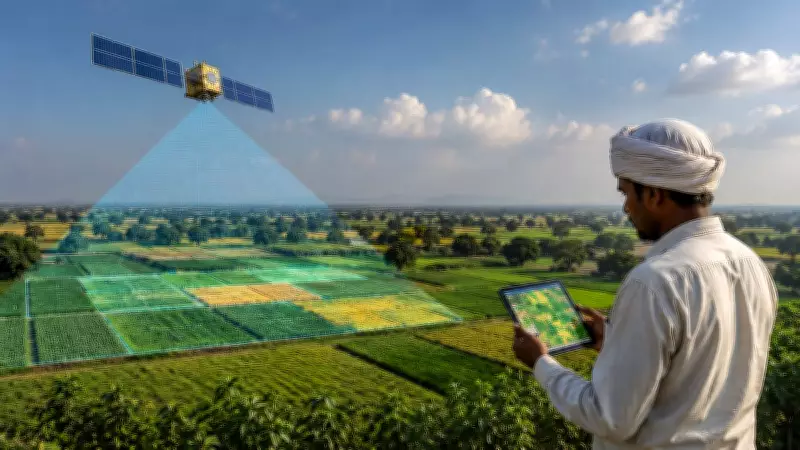
Researchers at the Goa Institute of Management have developed an innovative satellite-based tool for assessing agricultural policies, eliminating the need for traditional surveys. The tool leverages satellite imagery to monitor nearly 100,000 agricultural locations over time, providing accurate and real-time data for policymakers.
How the Tool Works
The system uses high-resolution satellite images to track changes in crop health, land use, and farming practices across a vast number of sites. By analyzing this data, the tool can evaluate the effectiveness of existing farm policies and suggest improvements. This approach significantly reduces the time and cost associated with ground-based surveys.
Benefits for Policymakers
This satellite-based assessment offers several advantages. It provides a comprehensive view of agricultural activities without relying on self-reported data, which can be biased or incomplete. Policymakers can now make informed decisions based on objective, large-scale observations. The tool also enables continuous monitoring, allowing for timely adjustments to policies.

Future Implications
The development marks a significant step forward in agricultural engineering and policy analysis. The researchers believe that this technology can be scaled to other regions and integrated with other data sources for even deeper insights. As satellite technology advances, such tools could become standard for farm policy evaluation worldwide.