Maharashtra Braces for Rain and Gusty Winds to Moderate Temperatures
The India Meteorological Department (IMD) has issued a fresh weather alert for Maharashtra, predicting a spell of rain and gusty winds starting Monday. This development is expected to prevent a sharp escalation in day temperatures across the state in the coming week.
Temperature Trends and Regional Variations
According to the IMD's latest district-level forecast, maximum temperatures are projected to rise by 2-4°C over Konkan, Madhya Maharashtra, and Marathwada regions over the next two days. Concurrently, minimum temperatures may increase by 2-3°C within the next 24 hours. In Vidarbha, maximum temperatures could surge by 3-5°C over the next five days before stabilizing, while minimum temperatures are likely to remain largely unchanged.
IMD scientist SD Sanap explained the meteorological factors behind these shifts. "The earlier favourable conditions for thunderstorms have weakened, leading to a temporary rise in temperatures in the next couple of days," he stated. "The easterly trough bringing moisture has diminished, and the influence of western disturbances has reduced, contributing to this warming trend."

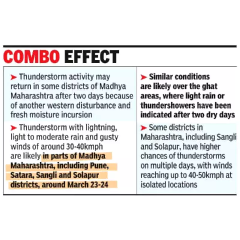
Forecast for Thunderstorms and Rainfall
However, relief is on the horizon. Model guidance indicates another western disturbance and fresh moisture incursion, which may revive thunderstorm activity after two days. Specifically, thunderstorms accompanied by lightning, light to moderate rain, and gusty winds reaching 30-40 kmph are likely in parts of Madhya Maharashtra, including Pune, Satara, Sangli, and Solapur districts, around March 23-24.
Similar conditions are anticipated over the ghat areas, where light rain or thundershowers are expected after two dry days. Some districts, such as Sangli and Solapur, have higher probabilities of thunderstorms on multiple days, with isolated wind speeds potentially hitting 40-50 kmph.
Impact on Pune and Pre-Monsoon Patterns
For Pune residents, temperatures are not expected to rise sharply. Sanap reassured, "We are not anticipating very high day temperatures over the next four to five days. Values should remain close to normal, and pre-monsoon showers may occur in isolated pockets, which can cause local variations even within the same district."
IMD officials highlighted that such brief spells of pre-monsoon rain are typical during March. This period often sees interactions between western disturbances and easterly troughs, which inject moisture into the region, resulting in isolated thunderstorms rather than widespread rainfall.
In summary, Maharashtra is set to experience a mix of rising temperatures followed by cooling rains and winds, maintaining a balance in weather conditions as the pre-monsoon season progresses.