The India Meteorological Department (IMD) has issued a significant weather advisory for the turn of the year, forecasting a challenging mix of dense fog, persistent cold, and isolated precipitation for northern parts of the country. According to the All India Weather Summary and Forecast Bulletin released on December 29, 2025, the first day of the new year will be dominated by fog and cold day conditions across the plains, with light rainfall and snowfall confined to specific hilly regions.
New Year's Day Weather: Rain, Snow, and Widespread Fog
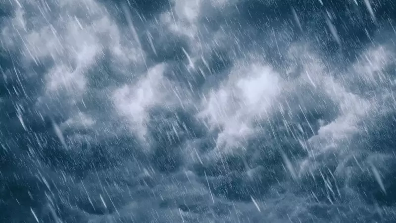
The key question for many is whether it will rain in northern India on January 1. IMD data confirms a possibility, but the rainfall will be light and limited in scope. A fresh western disturbance is set to influence the Western Himalayan Region from December 30 to January 2. This system is expected to bring scattered to fairly widespread light to moderate rainfall and snowfall over the region during this period.
Specifically on January 1, the hill states of Himachal Pradesh and Uttarakhand are likely to experience isolated to scattered light rainfall and snowfall, particularly at higher elevations. Western Uttar Pradesh may also see isolated light rainfall. However, for the vast Indo-Gangetic plains, including Punjab, Haryana, Delhi, Rajasthan, Bihar, and eastern Uttar Pradesh, the day is predicted to remain dry. The dominant weather features here will be fog and cold conditions.

Cold Wave and Dense Fog Pose Major Hazards
IMD has flagged dense to very dense fog as a primary hazard for New Year's Day and beyond. The bulletin warns of severely reduced visibility over a wide area, including Punjab, Haryana-Chandigarh, Delhi, West Uttar Pradesh, Uttarakhand, Bihar, West Bengal, Sikkim, Assam, Meghalaya, and other parts of the Northeast. Odisha is also likely to be affected by dense fog.
Visibility data from December 29 evening paints a concerning picture, with readings as low as 400 metres in Gwalior, 500 metres in Pathankot, and around 1,100 metres in Delhi. This fog is expected to significantly disrupt road, rail, and air traffic. Major airports in the Delhi-NCR region and Amritsar, along with key rail corridors in the north, could face delays, especially during early morning and late-night hours.
Simultaneously, cold wave and cold day conditions continue to grip the region. Severe cold day conditions were recently observed in parts of Uttar Pradesh, with cold day conditions affecting Bihar, Jharkhand, Uttarakhand, and Madhya Pradesh. Minimum temperatures have been notably below normal, with Hissar in Haryana recording a chilly 2.1 degrees Celsius.
Outlook for the First Week of January
IMD's temperature outlook suggests a slight respite may be brief. Northwest India might see a gradual rise in minimum temperatures by 3–4 degrees Celsius over the next three days, but this is likely to be followed by a fresh dip of 3–4 degrees Celsius thereafter, indicating a return of colder nights soon after New Year's Day.
The three-day outlook for January 1–3 indicates isolated to scattered rainfall will continue over the Western Himalayan Region. Meanwhile, the dense fog warning for the northern plains is extended until at least January 5 for several states, including Punjab, Haryana, Delhi, Rajasthan, Uttar Pradesh, and Bihar.
For New Year plans, this forecast implies varied challenges. Travelers heading to hill stations might encounter picturesque snowfall but must prepare for slippery roads and low visibility. Those in the plains or traveling across them should brace for fog-related delays and plan accordingly, keeping a close watch on transport advisories. The overarching message from the IMD is to prioritize safety as fog and cold remain the defining elements of North India's New Year weather.