
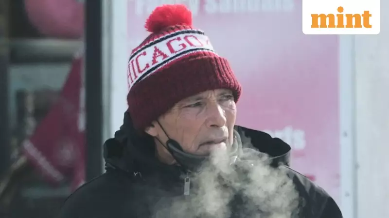
A powerful surge of frigid Arctic air has enveloped a vast swathe of the central and eastern United States, bringing record-shattering cold well ahead of the official winter season. The intense cold snap, which began on Thursday, has sent temperatures plummeting as much as 20 degrees Fahrenheit below average, creating hazardous conditions from the Plains to the Atlantic coast.
Record-Breaking Freeze Across Multiple States
According to meteorologist Marc Chenard from the US Weather Prediction Center, this is shaping up to be the season's most extensive and severe cold wave. The deep freeze stretched from the northern Plains, through the Great Lakes and Ohio Valley, reaching into the mid-Atlantic and New England. The official start of winter is still over two weeks away, yet the mercury has dipped to unprecedented lows.
Iowa bore the brunt of the historic chill. The town of Spencer recorded a bone-numbing low of 19 degrees below zero on Thursday. This shattered its previous all-time record of minus-9 degrees set in 2005. Statewide, more than a dozen locations across Iowa, along with parts of Wisconsin and Minnesota, saw new benchmark lows. Iowa's temperature records date back to 1895, underscoring the significance of this event.

The record-breaking cold was not confined to the Midwest. Detroit likely set a new record low of 5 degrees Fahrenheit on Friday morning. In New York, John F. Kennedy and LaGuardia airports both hit 20 degrees, tying or setting new records. Upstate New York experienced an even more extreme freeze, with temperatures diving to an apparent new record of minus-22 degrees.
Hazards and Extended Forecast
Beyond the unseasonable cold, the weather system is bringing other dangers. The National Weather Service warned of snow in parts of the mid-Atlantic, Midwest, and Rockies through Saturday. A storm system crossing the northern Plains and Midwest on Saturday could bring periods of heavy snow.
Local forecasts in states like Indiana and Oklahoma highlighted the risk of freezing fog, which creates a major road hazard. This phenomenon involves super-cooled water droplets that instantly freeze on contact with surfaces, forming a nearly invisible layer of black ice that makes driving extremely perilous.
The Science Behind the Deep Freeze
What is driving this intense and early Arctic blast? Meteorologist Marc Chenard explains that the culprit is a fluctuation in the polar vortex—the large area of low pressure and cold air surrounding the Earth's poles. This clockwise circulation of polar air has weakened, allowing a lobe of icy air to spill southward from the Arctic and Canada into the northern United States.
Chenard expects this frigid pattern to persist in waves over the next one to two weeks, meaning relief is not imminent for the affected regions. Residents are urged to take precautions against the cold, be aware of travel disruptions due to snow and ice, and prepare for energy demands to spike as heating systems work overtime.


