A powerful winter storm is poised to strike large portions of the United States early this week, creating major travel headaches for millions of Americans returning home after the Thanksgiving holiday.
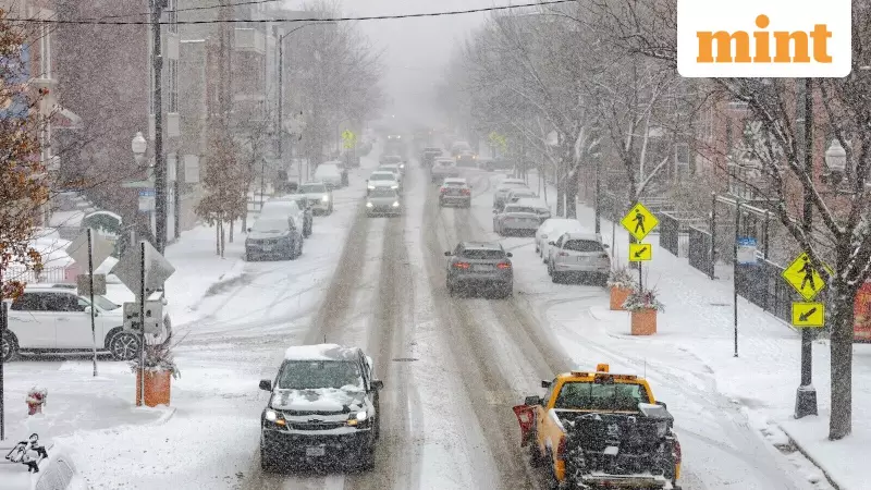
The new snowstorm, expected to bring a messy mix of snow, sleet, and rain, threatens to severely disrupt road and air travel across the Northeast, Mid-Atlantic, Midwest, and Central Plains. This comes just days after another weather system dumped over a foot of snow in some Midwestern areas.
Widespread Travel Disruption and Flight Cancellations
As of 11 am on Sunday, the travel chaos had already begun, with over 560 flights within the United States being cancelled, according to data from FlightAware. This figure includes a significant number of departures, arrivals, and domestic routes.

Major airports in the Midwest are expected to bear the brunt of the impact. Travelers passing through hubs like Chicago, Detroit, Denver, Minneapolis, St. Louis, and Kansas City have been advised to prepare for substantial delays and further cancellations. Illustrating the severity, Chicago’s O’Hare International Airport alone recorded more than 8 inches of snow on Sunday morning.
AccuWeather meteorologist Alyssa Glenny issued a stern warning, stating that road crews could struggle to keep up with the heavy snowfall on highways throughout the Midwest and Great Lakes region. She also indicated that this stormy and cold weather pattern is likely to continue into the first week of December.
Storm Details and Regional Impact
Forecasters warn that some regions could see up to 6 inches of snow by Tuesday. The National Weather Service (NWS) Weather Prediction Centre took to social media platform X to announce, “A winter storm will approach the Mid Atlantic and Northeast beginning Monday evening with a threat of snow and ice across the interior portions of both regions. Any snowfall and ice will present hazardous travel concerns.”
For New Yorkers, the week is starting with a tricky forecast. A Nor'easter is expected to move in during the Tuesday morning rush hour, potentially making the commute hazardous. Suburban areas could receive up to 3 inches of snow.
FOX meteorologist Cody Braud explained that the storm should reach New York City around 6 am, bringing a wintry mix that could turn roads slippery. While the city itself is unlikely to see significant snow accumulation, turning to rain by 9 am, Braud warned that “NYC is likely to get a continuous 12-16 hours of rain and or snow. Both the morning and evening commutes will face impacts.” The city could also see up to 2 inches of rain.
Extended Forecast and Further Storm Threats
According to AccuWeather's analysis, this fast-moving snowstorm is forecast to deliver snow and sleet to a wide swath of the country. The affected areas include Kansas, southern Nebraska, and much of the East Coast, covering Pennsylvania, New York, northern New Jersey, and New England between Monday and Tuesday.
In a concerning development for the long-term forecast, meteorologists are already monitoring at least two more potential storms that could develop in the first half of December, suggesting a prolonged period of challenging winter weather for the nation.