In a significant move towards modernising law enforcement, police in Nagpur are now equipped with an artificial intelligence tool that forecasts where crimes are likely to happen next. This innovative system, named 'Smart Prahari', aims to shift policing from a reactive model to a proactive, intelligence-based exercise.
How Smart Prahari Transforms Traditional Patrolling
Developed by ASP Navdeep Aggarwal, Smart Prahari is an analytical engine that digs deep into historical crime data logged by police stations. Every day, offences are recorded with details like time, location, and type. Traditionally, this valuable information remained static in spreadsheets. Smart Prahari brings it to life by feeding it into a Python-based analytical engine to uncover hidden patterns.
The system identifies specific trends, such as vehicle thefts clustering near a bus stand between 8 pm and midnight. It doesn't just flag this hotspot; it also generates an optimal patrol route that passes through the area during those critical hours. "Night patrolling is usually driven by intuition rather than data-backed evidence. With this AI software, patrol routes will change entirely based on real-time results," explained ASP Aggarwal.

From Pilot to Potential State-Wide Rollout
The project has already moved from testing to a live pilot phase. The team first validated the system with simple data before progressing to complex, mappable routes. A major breakthrough came when they loaded five years of historical crime records, which drastically improved the accuracy of patrol planning. The system was officially rolled out in Washim district starting November.
On future plans, Aggarwal stated, "We are planning to integrate it with 112, the emergency response number. After running it for three months, we intend to present it to the state for possible implementation across Maharashtra." For now, it remains a pilot project where results will be evaluated before further steps are taken.
Technology, Accessibility, and Cost-Effectiveness
Remarkably, this sophisticated system was developed at zero cost. "All platforms used were open source, so developing this software didn't cost a penny. It took us about a month to implement it," Aggarwal revealed, adding that the idea was inspired by a lecture at IIM Hyderabad.
The tool uses open-source geographic mapping software to convert raw data into interactive live maps. These maps show real roads and intersections, with visual cues: violent crimes in red, property offences in green, and CCTV camera locations in blue. Hotspots are weighted by frequency and severity, and the route-optimisation logic ensures officers cover the highest-risk areas in the minimum time.
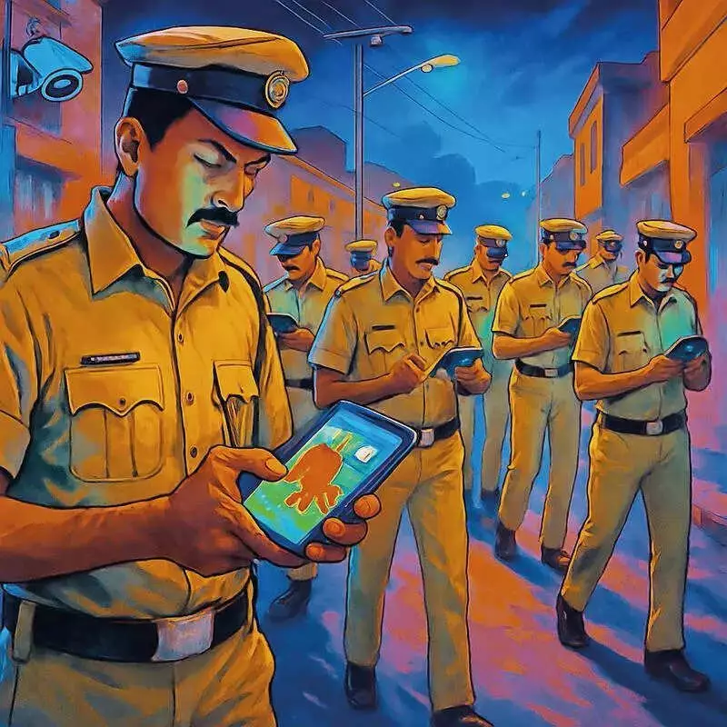
Accessibility is a key feature. A mobile app allows constables on the ground to view real-time routes, updated hotspots, and CCTV locations directly on their phones. If a new crime is reported, patrol paths are recalculated instantly, ensuring dynamic adaptability. The system is designed to be scalable across districts without requiring major financial investment or vendor lock-in.
Privacy and the Road Ahead: Smart Prahari 2.0
Importantly, the system analyses locations and patterns, not individuals. No personal identifiers are used, and all data is encrypted and anonymised, ensuring compliance with constitutional safeguards.
The vision for the future is even more integrated. Plans for Smart Prahari 2.0 include incorporating real-time feeds from CCTNS and CCTV networks, GPS-enabled patrol vehicles, advanced AI-based crime forecasting, and even drone-assisted coverage. This initiative supports national goals like Digital India and AI for All, proving that innovation in law enforcement can be driven by creative coding and leadership, not just large budgets.
By predicting crime before it happens and directing resources precisely, Smart Prahari marks a decisive leap towards a future where police don't just respond to crime—they aim to outsmart it.