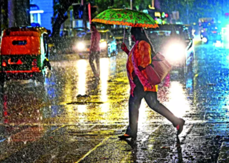
The Union ministry of earth sciences launched a pilot weather forecasting system for Uttar Pradesh on Tuesday, utilizing artificial intelligence to generate rainfall predictions with a spatial resolution of one kilometer and project conditions up to ten days in advance. This initiative represents a significant advancement from the current district-level forecasts.
System Details and Collaborators
The system, named 'High Spatial Resolution Rainfall Forecast for Uttar Pradesh', was developed jointly by the India Meteorological Department (IMD), the Indian Institute of Tropical Meteorology (IITM) in Pune, and the National Centre for Medium Range Weather Forecasting (NCMRWF). It dynamically converts hourly rainfall forecasts from an indigenous model at a 12.5 km resolution, scaling down to 4 km and finally to an ultra-high 1 km resolution using AI-driven downscaling techniques.
Integration of Data Sources
According to M Ravichandran, Secretary of the Ministry of Earth Sciences, Uttar Pradesh has a sufficient number of automatic weather stations (AWS). The system will integrate data from automatic rain gauges (ARGs), AWSs, Doppler weather radars, and satellite-based rainfall datasets to generate hyper-local weather forecasts. He stated, "It demonstrates the capability of generating operational rainfall forecasts at 1 km resolution using dense observational networks." The model is likely to be calibrated against real-time data before being extended to other states.

Dissemination and Applications
The forecasts will be disseminated through the IMD and NCMRWF websites and mobile applications. The tool is designed to serve sectors including agriculture, water resource management, disaster management, urban planning, renewable energy, and infrastructure. Officials noted that farmers will be able to make more informed decisions on sowing, irrigation, crop protection, and harvest planning with far greater local precision.
Benefits for Urban Planning
The 10-day forecast window for every 1 km is expected to help civic agencies shift from reactive to anticipatory approaches. Urban planning experts indicated that local authorities in cities like Lucknow, Ghaziabad, or Noida could anticipate waterlogging hotspots, manage stormwater systems proactively, and schedule road or construction work around rain windows with greater precision. In the event of heavy rain or flooding, it could become easier to identify vulnerable localities, low-lying pockets, and drainage-stressed zones in time for targeted evacuations and pre-positioning of relief, rather than issuing blanket district-wide alerts.
Impact on Agriculture
Ramavatar Tyagi, a rose cultivator in Noida who lost standing flower stems to flooding last monsoon, said early forecasts could help farmers limit losses. "If there's flooding, nothing helps. But if we know about rainfall in advance, we can make temporary arrangements or at least shift our livestock to safer places," he said.
Administrative Follow-Through
Green activist Pradeep Kumar, who has filed cases in the National Green Tribunal regarding overexploitation of groundwater by real estate developers and concretisation of greenbelts in Greater Noida, said the tool's value would depend on administrative follow-through. "People living in the Yamuna and Hindon floodplains do not want to move even when there is a flood risk, but if the administration, equipped with a credible forecast, steps in, damage to life and property can be averted," he said.