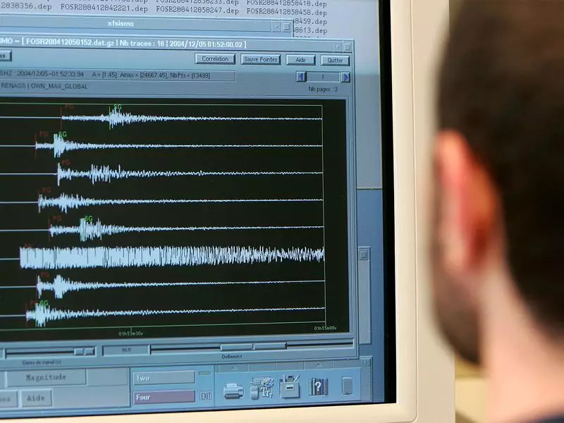
A significant seismic event rattled Myanmar on Tuesday as an earthquake measuring 4.5 on the Richter scale struck the region. The tremor, which occurred at precisely 16:19:27 Indian Standard Time, sent ripples of concern through the area.
Earthquake Details and Epicenter
According to the latest data from the National Center for Seismology (NCS), the earthquake's epicenter was located at a depth of 90 kilometers beneath the Earth's surface. The precise coordinates place the seismic activity at latitude 22.49 and longitude 94.08, positioning it within Myanmar's geographical boundaries.
Regional Impact and Safety Measures
While the earthquake registered as moderate in intensity, its effects were noticeable across the region. Seismologists classify earthquakes of this magnitude as capable of causing shaking felt by most people indoors and some outdoors, though significant damage is typically limited.
Key safety reminders for earthquake-prone regions include:
- Drop to the ground and take cover under sturdy furniture
- Stay away from windows and exterior walls
- If outdoors, move to an open area away from buildings and utility wires
- Follow official updates from seismic monitoring authorities
Monitoring and Future Preparedness
The National Center for Seismology continues to monitor aftershocks and seismic activity in the region. Earthquakes of this magnitude serve as important reminders for communities in seismically active zones to maintain emergency preparedness plans and stay informed about safety protocols.
As seismic monitoring technology improves, authorities can provide more accurate and timely warnings, potentially saving lives and reducing property damage during such natural events.


