Coastlines are dynamic interfaces between land and sea, and their morphology plays a crucial role in shaping human settlements, trade, and economic activities. The relationship between coastline types and urbanisation is particularly evident in the development of ports, which act as gateways for commerce and cultural exchange. This article explores how different coastline features—such as rias, fjords, deltas, and barrier islands—influence the location and growth of ports and cities.
Rias: Drowned River Valleys
Rias are formed when sea levels rise and flood river valleys, creating irregular, branching inlets. These deep, sheltered waters are ideal for natural harbours. Examples include the coast of Galicia in Spain and the Chesapeake Bay in the USA. In India, the Konkan coast features several rias, such as Mumbai Harbour, which has facilitated the growth of India's largest city and port. The deep waters allow large vessels to dock close to shore, reducing the need for extensive dredging. Consequently, cities like Mumbai have evolved into major economic hubs, attracting population and investment.
Fjords: Glacial Carved Harbours
Fjords are steep, U-shaped valleys carved by glaciers and later flooded by the sea. They provide extremely deep and sheltered anchorages, ideal for ports in high-latitude regions. Examples include Oslo in Norway and Vancouver in Canada. These ports often support fishing, tourism, and trade, but the surrounding mountainous terrain limits urban sprawl, leading to compact, vertical cities. In contrast, fjords are absent in India due to the lack of glaciation in coastal areas.

Deltas: Fertile but Challenging
River deltas, formed by sediment deposition at river mouths, create low-lying, fertile plains. They are often densely populated due to agricultural productivity, but port development faces challenges like shallow waters, shifting channels, and silting. The Ganges-Brahmaputra delta in Bangladesh and the Mississippi delta in the USA are examples. In India, the Sundarbans delta is sparsely urbanised due to its unstable environment. However, the Godavari and Krishna deltas support moderate port activity, though dredging is frequently required.
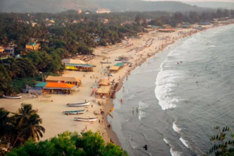
Barrier Islands and Lagoons
Barrier islands run parallel to the coast, protecting lagoons and wetlands. They often host tourist resorts and small ports, but large-scale urbanisation is limited due to vulnerability to storms and erosion. The Outer Banks in the USA and the coast of Kerala in India, with its backwaters, are examples. The backwaters of Kerala support inland water transport and tourism, but major ports like Kochi are located on natural inlets rather than directly on barrier islands.
Impact on Urbanisation
The type of coastline directly influences urban morphology and economic activities. Rias and fjords promote concentrated, port-centric cities, while deltas lead to dispersed, agricultural settlements. Barrier islands often result in linear coastal development, such as along the French Riviera. In India, the western coast (with rias and estuaries) has historically been more urbanised than the eastern coast (with deltas and lagoons), as seen in the rise of Mumbai, Goa, and Mangaluru versus the relatively slower growth of Kolkata's deltaic region.
Conclusion
Understanding coastline types is essential for urban planning and port infrastructure development. As sea levels rise due to climate change, these natural features will become even more critical in determining the resilience and sustainability of coastal cities. Policymakers must consider the unique challenges and opportunities presented by each coastline type to foster balanced regional development.