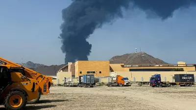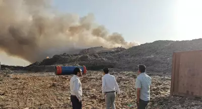
Myanmar was struck by two separate earthquakes on Saturday, April 27, causing tremors that rippled across the border into parts of northeastern India. The seismic double event has drawn attention to the active tectonic nature of the region.
Details of the Twin Seismic Events
The first and more powerful tremor occurred at 7:27 AM Indian Standard Time (IST). The United States Geological Survey (USGS) recorded this earthquake at a magnitude of 5.0 on the Richter scale. Its epicentre was located in Myanmar, approximately 68 km southeast of Lunglei in Mizoram, India. The quake originated at a shallow depth of 10 kilometres beneath the Earth's surface.
Merely hours later, the region was jolted again. A second earthquake, measuring a magnitude of 4.5, hit at 2: PM IST. This subsequent tremor was also centred in Myanmar, about 72 km southeast of Lunglei, and at a similar shallow depth of 10 km.

Tremors Felt Across the Border in India
The seismic waves from these events travelled across the border, with residents in several Indian states reporting the tremors. The impact was primarily felt in:
- Mizoram, being the closest to the epicentre.
- Parts of Manipur and other northeastern states.
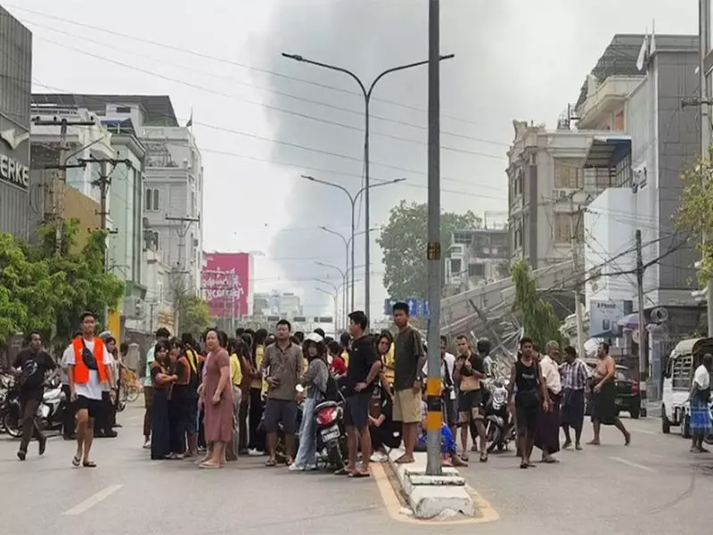
As of now, there have been no immediate reports of casualties or significant damage to property from either side of the border following the two quakes. The shallow depth of the earthquakes often leads to more pronounced shaking on the surface, increasing the perception of the tremor even for moderate magnitudes.
Understanding the Seismic Context
This region is no stranger to seismic activity. Northeastern India and neighbouring Myanmar sit in a seismically volatile zone, falling under Zone V (very high risk) and Zone IV (high risk) of India's seismic zonation map. This classification is due to the complex tectonic interactions of the Indian Plate colliding with the Eurasian Plate.
The occurrence of two earthquakes in a single day underscores the persistent geological forces at work. While the magnitudes were not catastrophic, they serve as a stark reminder of the area's vulnerability to more potent seismic events. Authorities and disaster management teams routinely monitor such activity to assess risks and prepare response protocols.
Experts often advise residents in high-risk zones to be prepared by securing heavy furniture, knowing evacuation routes, and having emergency kits ready. The swift dissemination of accurate information, as provided by agencies like the USGS and India's National Centre for Seismology, is crucial in preventing panic and ensuring public safety after such natural events.