
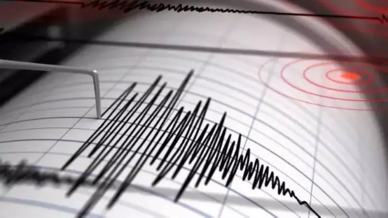
A significant earthquake with a magnitude of 6.7 jolted the southern region of the Philippines on Wednesday, according to the United States Geological Survey (USGS). The seismic event has put local authorities on high alert, though an official tsunami warning has not been issued at this time.
Details of the Seismic Event
The tremor, detected by the USGS, originated in the southern part of the Philippine archipelago. The magnitude was recorded at 6.7, indicating a strong quake capable of causing considerable damage. The news was initially reported by the AFP news agency, which cited the USGS data. As of now, details regarding the exact epicenter depth and the intensity of shaking felt in nearby populated areas are still emerging.
Initial Response and Current Status
Philippine authorities are actively assessing the situation following the quake. Crucially, no tsunami alert has been declared by the relevant disaster monitoring agencies. This is a developing story, and emergency services are likely evaluating potential impacts on infrastructure and communities in the affected zone. The absence of an immediate tsunami warning provides some relief, but the risk of aftershocks remains.

Regional Seismic Context and Preparedness
The Philippines is located within the Pacific "Ring of Fire," an area notorious for frequent earthquakes and volcanic activity. This geographical reality makes the country particularly vulnerable to seismic events. The prompt reporting by global agencies like the USGS aids in rapid response and information dissemination. Residents in the region are advised to stay vigilant, follow official updates from local authorities, and be prepared for possible aftershocks.
This story is still unfolding, and further information regarding damage assessments, potential casualties, and relief efforts is awaited.


