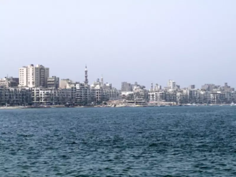
For centuries, the sea has concealed the evidence of a royal city that once flourished as a major Hellenistic and Roman Mediterranean center. In 1994, mapping work in Alexandria's Eastern Harbour revealed submerged giant fallen stone blocks and a dense scatter of monuments, ruins, and ancient shoreline features. This discovery was not a single wreck or temple; it exposed extensive submerged remains linked to Alexandria's royal harbour quarter. Fragments of this vast scene of palaces, dikes, statues, and harbour works remain on the seabed, illustrating how the sea can both hide and preserve important public and royal waterfront structures.
A Harbour System Rather Than a Single Ruin
The area, described in a summary indexed in PubMed, contains the ancient shoreline, the island of Antirhodos, a structure called the Timonium, artificial dikes, and a large spread of artefacts. The list includes columns, sphinxes, statues, and fragments of obelisks. This mix suggests that the seabed was not the site of one fallen monument but the broken remains of a royal port complex scattered across the harbour floor. Archaeologically, the site is a landscape as a whole, not a single object.
This broader view helps explain why the 1994 mapping effort attracted so much attention. The giant blocks on the seabed were part of a much larger archaeological landscape. As soon as survey teams could read the harbour as a connected space, the finds made more sense. The shoreline traces, islands, promontories, and debris of old buildings all pointed to the same conclusion: collapse, sinking, and burial had transformed the eastern waterfront of Alexandria. Preserved traces of the waterfront linked royal power, trade, and ceremony.

What the Fallen Blocks Tell
Divers found huge blocks that looked like pieces broken off from a big building. Their function becomes clearer when considered alongside other harbour remains. The archaeological record contains monumental fragments from many areas of the Eastern Harbour, from columns and statues to pieces of obelisks. This suggests the blocks are fragments of larger structures, displaced by collapse and marine processes. They were likely remains of buildings that once stood near the water, later toppled, broken, and scattered by changing ground levels and marine processes.
The harbour contains remains of buildings, reefs, and a Roman shipwreck near Antirhodos. These features show how busy and active the area was over time. A single dive could uncover royal architecture, harbour defences, and ship remains in the same area. This is why the underwater scene is so powerful: a disturbed archive of stones, vessels, and traces of the shoreline, each contributing a piece to the lost coastal history of Alexandria.
Antirhodos and the Royal Quarter
Antirhodos is one of the names associated with the sunken harbour. It locates the story in the royal part of the city, which included ceremonial and elite waterfront precincts adjacent to major sea lanes and harbour works. The underwater discoveries therefore connect to the royal quarter of Alexandria, the part of the city associated in ancient memory with grandeur, display, and power. A Greek statue in the shape of a sphinx was brought out of the Mediterranean and is currently on display at the National Museum of Alexandria.
Why the Old City Went Under
Because parts of Alexandria's coastline are subsiding, the sunken ruins reflect a broader geological process. A hazard study published in Scientific Reports says the city's coastal zone is subsiding with a mean displacement rate of about minus 1.73 millimetres per year. This is supported by submerged archaeological structures and modern satellite data, the paper says. The link matters because it connects an ancient loss with a contemporary change. The geological processes that buried the harbour have continued into the present. The ground under Alexandria remains unstable; the shoreline still shifts.

This is important for the way that the underwater finds are read today. The fallen blocks and other monuments are evidence of long-term pressure on the coast. The old royal quarter suffered slow change and was eventually covered by land movement, sea level change, and harbour conditions. That makes the site both an archaeological treasure and a warning about how vulnerable low-lying coasts are when the ground itself continues to subside.
Fragmented Landscape Preserved
The summary of the older harbour includes traces of an ancient shoreline, Antirhodos, the Timonium, artificial dikes, and more than 1,000 artefacts. Together, these finds demonstrate how urban space, power, and water were once one place. But the sea did not wash all away. It spread the proof over the floor of the Eastern Harbour, where every piece still speaks of the shape of the lost quarter.
In this sense, the underwater landscape is both ruin and archive. It shows how a world-famous city can live on as a design in the mud, stone, and scattered monuments of the sea. The evidence comes from the same harbour area, and therefore suggests an integrated urban and maritime system. It was the margin of a much larger submerged world, which is still an active archive of the city's past and future.