The Union Environment Ministry's (MoEF) recent affidavit in the Supreme Court, which proposed defining the Aravalis for mining purposes as hills with an elevation of 100 metres or more, has ignited a fresh debate over the protection of the ecologically fragile range. While the apex court adopted this definition on November 20, subsequent clarifications and the affidavit's own admissions reveal deep contradictions and scientific concerns about the approach.
The Core Contradiction in Defining a Heterogenous Range
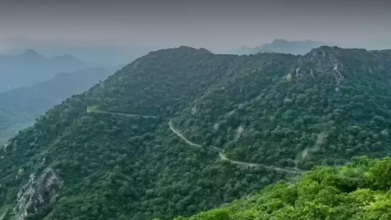
The ministry's document underscores the inherent challenge of creating a uniform definition for the Aravalis, a hill system with wide variations across the four states it traverses: Gujarat, Rajasthan, Haryana, and Delhi. A technical panel formed by the MoEF used a process of elimination to settle on the 100-metre benchmark from local relief (the surrounding landmass), not from average mean sea level. However, the affidavit itself notes that height and slope are insufficient parameters alone for delineating the Aravalis.
The panel's analysis, based on Survey of India data from 34 districts, revealed major elevation disparities. It found that Aravali hills are not confined to high altitudes but span a wide spectrum. Nearly 40% of the ranges in 14 districts have an average elevation of just 101-300m. Hills in 15 other districts stand between 301 and 500m, while only four districts have averages above 500m.

Why the 100-Metre Marker Alarms Experts
Environmentalists and legal experts fear this definition, even if solely for regulating mining, could exclude vast stretches of the low-lying Aravalis from protection, thereby gutting conservation efforts. The affidavit explicitly cautions that using average elevation as a sole criterion leads to "inclusion and exclusion error" due to the terrain's considerable internal variation.
"The committee relied on district-wise average elevation of grid cells, which is problematic given that Aravalis comprise thousands of hills," said Debadityo Sinha, lead for climate and ecosystems at Vidhi Centre for Legal Policy. "In a landscape with such high variation, averages can be misleading." He argued that a few high hills can skew the average, masking the fact that many hills fall below the 100m cutoff. From a statistical standpoint, he emphasized that averages lose relevance when variation is extremely high, and distributions or medians should be examined instead.
The analysis of slopes, often considered a more scientific indicator of hill systems, further highlighted heterogeneity. Data showed that 23 of the 34 districts are dominated by gentle slopes of less than 6 degrees, with only five districts having average slopes steeper than 9 degrees. The affidavit again warned that slope alone is also an inadequate defining criterion.
Call for a More Scientific Approach
Former South Haryana conservator of forests, MD Sinha, pointed to the previously considered scientific basis of a three-degree slope, which identified nearly four million hectares as Aravali foothills. "If you discard a scientifically tested slope-based approach, you cannot substitute it with a thumb-rule like 100m. Why 100 and not 95 or 105?" he questioned.
He suggested a more rigorous method: asking the Forest Survey of India (FSI) to present a comparative assessment of how much area is covered under the three-degree slope criterion versus the 100m height rule. This, he argued, would have provided the court with clearer, science-backed options.
The ongoing tussle highlights the complex balance between regulatory clarity and ecological preservation. With the affidavit laying bare the methodological dilemmas, the proposed definition's ability to protect the already degraded Aravali ranges from further damage—the original intent of the court-mandated exercise—remains in serious doubt.