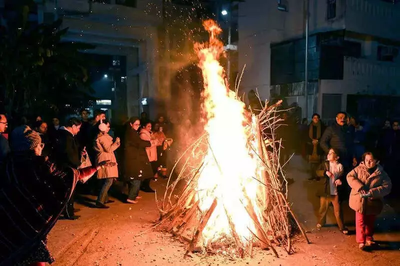
New Delhi continues to shiver under an intense cold wave for the third consecutive day. The city's minimum temperature plunged to a chilling 3 degrees Celsius on Tuesday. This reading sits four degrees below the normal seasonal average. It marks the coldest January day Delhi has witnessed in three years.
No immediate relief in sight
The India Meteorological Department forecasts no respite from the biting cold before Thursday. Officials have issued an orange alert for the region. A cold wave is officially declared when the minimum temperature dips below 4 degrees Celsius.
Temperature readings across the capital
Key weather stations recorded similarly low temperatures. At Safdarjung, the city's base weather station, the mercury dropped to 3.2 degrees Celsius. This was four degrees below the normal for this time of year.

Lodhi Road reported an identical minimum of 3 degrees Celsius. Ayanagar in southwest Delhi logged 3.2 degrees. Palam and Ridge areas in north Delhi recorded 4 and 4.4 degrees Celsius respectively.
Historical context of Delhi's cold waves
This January's cold snap brings back memories of recent winters. The last time Delhi saw a lower January reading was on January 18, 2023. The temperature then was 2.6 degrees Celsius.
Interestingly, last January did not record a single cold wave day. The city experienced five cold wave days in 2024. However, January 2023 proved much harsher with eight separate cold wave events.
This week, several parts of Delhi endured three consecutive cold wave days. Safdarjung, fortunately, faced only two such days.
What's causing the deep freeze?
Meteorological officials point to two main factors. Icy winds are blowing in from the western Himalayas. These are combining with clear skies over the capital.
The lack of cloud cover allows heat to escape rapidly after sunset. This phenomenon causes nighttime temperatures to drop sharply. It explains why the city's minimum settled at 3 degrees Celsius.
A contrasting daytime scenario
While nights are freezing, daytime temperatures tell a different story. Tuesday's maximum temperature reached 21.6 degrees Celsius. This was two degrees above the normal for this period.
The forecast suggests maximum temperatures will remain between 19 and 21 degrees Celsius on Thursday. This creates a significant temperature variation between day and night.
When will the cold wave break?
Residents can expect some relief starting Thursday. The minimum temperature is predicted to begin rising then. Forecasters expect a range of 4 to 6 degrees Celsius on Thursday.
By January 18, the minimum could climb further to 8-10 degrees Celsius. A feeble western disturbance is expected to influence the region. This weather system should change wind patterns, leading to warmer nights.
Air quality takes a hit
The cold wave has worsened Delhi's air quality. The Air Quality Index deteriorated to 360, placing it in the 'very poor' category. This is a significant drop from Monday's reading of 297, which was in the 'poor' range.
The Centre's Air Quality Early Warning System for Delhi predicts conditions will remain 'very poor' until at least January 16. The situation may persist even beyond that date.
Delhiites are bundling up as the city weathers one of its coldest spells in recent years. All eyes are now on the approaching western disturbance for much-needed warmth.