New Delhi witnessed a welcome change in weather conditions on Sunday as patchy light rain accompanied by strong winds swept across various parts of the capital. This meteorological shift was triggered by a western disturbance beginning to affect the region, leading to a noticeable rise in minimum temperatures and contributing to improved air quality levels.
Air Quality Shows Significant Improvement
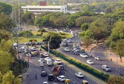
Delhi's 24-hour average air quality index (AQI) registered at 265, categorised as poor, at 4 PM on Sunday. This marked a substantial improvement from the previous day's reading of 315, which fell into the very poor category. The Air Quality Early Warning System (EWS) has indicated that the AQI is likely to remain in the poor category until at least February 10, suggesting sustained relief from the severe pollution levels that often plague the city.
Temperature Fluctuations and Rainfall Data
The minimum temperature climbed to 12.1°C on Sunday, which is approximately 4 degrees above the normal range for this time of year. In contrast, the maximum temperature settled at 24.6°C, about 2 degrees above normal. Rainfall measurements till 8:30 AM revealed that Safdarjung and Palam recorded trace amounts, while Lodhi Road logged 0.2mm and Ridge recorded 0.6mm. No precipitation was observed after 8:30 AM.

Meteorological Forecast for Coming Days
The India Meteorological Department (IMD) has predicted largely mild weather conditions throughout the upcoming week. Another western disturbance is expected to impact northwest India between February 5 and 7, which is likely to prevent any sharp decline in minimum temperatures. The IMD forecasts show the minimum temperature dipping to 7–9°C by Friday before rising by 1–2°C over the weekend as the next weather system approaches.
Maximum temperatures are expected to fall to around 18°C by Friday and then hover between 19°C and 21°C through the weekend. Similar very light, scattered rain is possible over the coming weekend, though meteorologists caution that the current western disturbance was weaker than previous systems.
Expert Analysis and Historical Context
Mahesh Palawat, vice-president at Skymet, explained that Delhi-NCR experienced only patchy showers because the current western disturbance was comparatively weaker than the previous two systems. "There was just one light spell early in the morning. Clouds moved south-east towards Madhya Pradesh soon after. No further rain is expected in the next few days," he stated.
Delhi last recorded significant rainfall on January 27, when Safdarjung logged 4.2mm. Earlier, the city received 19.8mm of precipitation between January 23 and 24, indicating that while Sunday's rainfall was light, it follows a pattern of intermittent winter precipitation that helps moderate pollution levels.
Broader Weather Patterns and Implications
The western disturbance phenomenon continues to play a crucial role in Delhi's winter weather patterns. These systems typically bring moisture from the Mediterranean region, resulting in cloud formation and precipitation over northern India. While Sunday's rainfall was limited, it contributed to dispersing pollutants and provided temporary relief from the cold wave conditions that had been prevailing.
The improvement in air quality, though still in the poor category, represents a positive development for residents who have been grappling with hazardous pollution levels. The combination of wind movement and light precipitation helped in settling particulate matter, though sustained improvement will depend on continued favorable meteorological conditions and reduced local pollution sources.