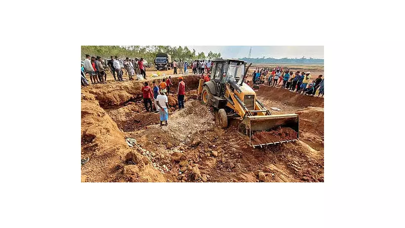
In a groundbreaking revelation that's shaking up geological understanding, scientists have uncovered the hidden connection between Karnataka's heavy monsoon rains and the mysterious tremors rattling the Kolar and Chikkaballapur regions. The earth beneath our feet, it appears, is more responsive to weather patterns than we ever imagined.
The Geological Mystery Unraveled
Recent seismic activity that had residents fearing the worst has been traced back to an unexpected culprit: the combination of torrential rainfall and the region's unique limestone geology. According to comprehensive studies by geological experts, these aren't traditional earthquakes but rather "triggered tremors" caused by nature's complex interplay.
How Rain Creates Earth Movements
The science behind this phenomenon is both fascinating and concerning. When heavy monsoon rains drench the landscape, water doesn't just flow across the surface—it penetrates deep into the earth, seeking pathways through porous limestone deposits that characterize the region's underground structure.
This infiltrating water acts as a natural lubricant, reducing friction between rock layers and essentially "greasing the wheels" of geological movement. The result? Previously stable rock formations begin to shift and settle, creating the tremors that have been puzzling both residents and scientists alike.
Expert Insights and Findings
Geological Survey of India scientists have been monitoring this unusual pattern closely. Their research indicates that the timing of tremors consistently correlates with periods of intense rainfall, creating a clear cause-and-effect relationship that can no longer be ignored.
"What we're witnessing is a perfect storm of geological conditions," explains a senior geologist involved in the study. "The limestone bedrock, combined with saturated soil conditions from excessive rains, creates ideal circumstances for these micro-tremors to occur."
Regional Impact and Monitoring
The affected areas, particularly villages and towns across Kolar and Chikkaballapur districts, have reported multiple instances of these tremors over recent months. While most have been minor—registering low on the Richter scale—the frequency and consistency have raised important questions about long-term implications.
Local authorities have responded by:
- Installing additional seismic monitoring stations
- Conducting geological surveys of vulnerable areas
- Educating communities about safety measures
- Developing early warning systems
Climate Change Connection
Scientists are also exploring the potential climate change angle, noting that increasingly erratic rainfall patterns and more intense monsoon events could potentially amplify this phenomenon in coming years. The research suggests we may need to reconsider how changing weather patterns interact with local geology.
The implications extend beyond scientific curiosity, touching on urban planning, construction standards, and disaster preparedness in regions with similar geological profiles across India.
Looking Forward: Research and Preparedness
Ongoing studies aim to develop predictive models that could forecast tremor likelihood based on rainfall patterns and geological data. This proactive approach could revolutionize how communities in geologically sensitive areas prepare for and respond to natural phenomena.
As research continues, one thing becomes increasingly clear: in our interconnected world, even the relationship between rainfall and earthquakes is more complex and immediate than previously understood.


