Earth's Deepest Gravity Mystery Lies Beneath the Indian Ocean
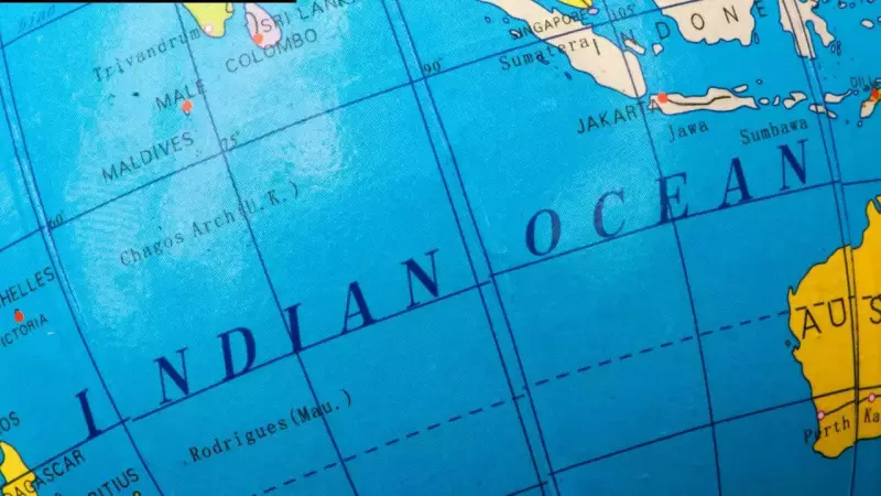
The Indian Ocean hosts the most profound gravity anomaly on our planet, a vast and subtle depression in Earth's gravitational field situated south of Sri Lanka. Known as the Indian Ocean geoid low, this remarkable feature causes sea levels in the region to sit more than 100 meters lower than the global average, despite the ocean surface appearing calm and undisturbed.
Decades of Scientific Inquiry Yield New Answers
For many years, researchers have grappled with explaining why this specific part of Earth behaves so differently from others. Recent groundbreaking research, combining advanced satellite measurements, detailed seismic imaging, and comprehensive long-term mantle modelling, now suggests the answer originates deep within our planet's interior. The movements of tectonic plates, sinking slabs of ancient ocean crust, and rising plumes of hot material appear to have sculpted this hidden geological feature over tens of millions of years.
The geoid represents an imaginary surface where Earth's gravity remains equal everywhere, closely aligning with mean sea level. While most variations in this field are relatively minor, the Indian Ocean geoid low stands out dramatically due to its immense size and exceptional depth. Satellite data confirm it as the most negative long-wavelength gravity anomaly on the entire planet. NASA observations further indicate that the crust in this region sits hundreds of meters lower than expected if it were fully balanced by buoyancy, implying the mass deficit extends far beyond the surface, rooted deep within the mantle.

How Scientists First Attempted to Explain the Anomaly
The 2023 research study, titled "How the Indian Ocean Geoid Low Was Formed," adopts a significantly longer historical perspective. Rather than commencing with present conditions, the models trace events back more than 100 million years. They meticulously follow the Indian plate as it migrated northward, gradually closing the ancient Tethys Ocean and ultimately colliding with the Asian continent. As this primordial ocean vanished, substantial slabs of old seafloor descended deep into the mantle.
These sinking slabs did not remain passive. Over extensive geological timescales, they disturbed other deep-seated structures located far away, particularly beneath the African continent. This connection is indirect and not immediately apparent, yet it proves crucial to understanding the anomaly's formation.
Heat Rising Where Ancient Slabs Once Sank
As the descending slabs accumulated, they nudged a massive hot region near the base of the mantle known as the African Large Low Shear Velocity province. This disturbance helped initiate plumes of hot material that rose slowly beneath the Indian Ocean. Importantly, these plumes did not erupt at the surface. Instead, they spread extensively beneath the crust, effectively reducing density in the upper mantle. The models indicate this process became notably more effective approximately 20 million years ago. The gravity low deepened not due to an increase in slab volume, but because heat migrated closer to the surface.
The Reason the Lowest Gravity Lacks a Single Central Source
One particularly intriguing detail emerges from the research. The deepest section of the geoid low does not sit directly above the hottest mantle material. Instead, it appears where multiple influences converge and overlap. Warm regions in the upper mantle generate a broad, shallow signal, while deeper heat sources stretch that signal outward. Distant plumes further help confine and shape it. Consequently, the gravity low arises from the delicate balance of these combined effects rather than a single, isolated structure. When models exclude any one element, the match deteriorates significantly, causing the feature to become either too weak or excessively spread out.

Why Plate Motion History Proves Essential
Recent investigations adopt a novel approach by running mantle convection models forward in time from the age of dinosaurs to the present day. These sophisticated simulations incorporate the northward drift of the Indian plate and the closure of the ancient Tethys Ocean. As India advanced toward Asia, enormous volumes of oceanic crust were thrust deep into the mantle. These sinking slabs did not simply vanish; they perturbed deeper mantle structures beneath Africa, setting in motion a chain of events that unfolded far from their original descent locations.
How Deep Plumes Influenced the Gravity Field
According to the new models, the Tethyan slabs altered the African Large Low Shear Velocity province, a colossal hot region near the mantle's base. This alteration triggered plumes of hot material to ascend beneath the Indian Ocean. As these plumes reached the upper mantle, they diminished density in the area, creating an extensive mass deficit. This process intensified around 20 million years ago when hot material spread beneath the lithosphere closer to India, deepening the geoid low without requiring major changes in slab volume.
Explaining Why the Geoid Low Is Not Centered on a Single Source
A striking finding reveals that the lowest gravity does not align directly above the deepest hot anomalies. Instead, the geoid low emerges from the combined influence of various mantle structures surrounding the region. Upper mantle temperature anomalies produce a wide, diffuse low, while deeper hot regions elongate the signal southward and westward. Only when these effects intersect does the observed shape materialize. This phenomenon clarifies why models incorporating only slabs or only plumes fail to accurately reproduce the actual geoid.