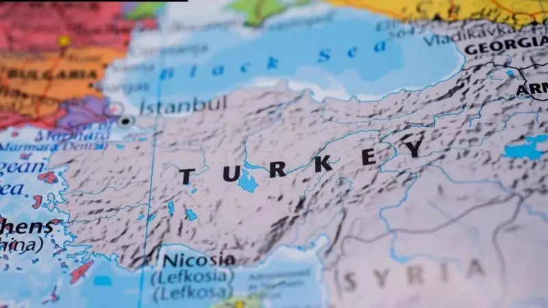
Turkey's Konya Basin Shows Active Subsidence Amid Rising Plateau
The Konya Basin in Central Anatolia, Turkey, presents a fascinating geological puzzle. While the broader region has been uplifting for millions of years, this specific basin is actively sinking. New research confirms this surprising phenomenon through detailed satellite and ground measurements.
Contrasting Movements in Central Turkey
Located within Turkey's Central Anatolian Plateau, the Konya Basin forms a distinct low-lying depression. The plateau itself stands impressively high, averaging between 1.5 to 2 kilometers in elevation. Mountain belts clearly mark its northern and southern boundaries. In stark contrast, the basin remains flat and depressed within this elevated landscape.
Geologically, the basin is endorheic, meaning it lacks any outlet to the sea. This characteristic has allowed sediments to accumulate over long periods without external drainage removing them. These sediments include ancient lake deposits from the Pleistocene period, preserving clear shorelines from a bygone lake system.

Scientific Methods Reveal Localized Sinking
Researchers employed multiple techniques to investigate this phenomenon. They used GNSS and InSAR data alongside seismic imaging, gravity analysis, and laboratory experiments. Their observations reveal that the Konya Basin is undergoing vertical subsidence that is both active and localized.
The sinking motion appears circular in shape and centered on the basin interior. Meanwhile, surrounding areas of the Central Anatolian Plateau show no comparable downward movement. This region is considered tectonically quiet compared to eastern and western Anatolia. Apart from the Tuz Gölü fault, no major active fault systems cut through the plateau interior.
Deep Earth Processes Drive Surface Changes
The lack of strong surface tectonics suggests that fault movements are not causing the subsidence. Instead, scientists point to activity deep beneath the surface. Seismic studies show Central Anatolia has relatively thin lithosphere, with the boundary between lithosphere and asthenosphere lying at depths of 60 to 100 kilometers.
Beneath the Konya Basin, researchers identified a fast seismic wave speed anomaly between 50 and 80 kilometers deep. Such anomalies typically indicate colder, denser lithospheric material. Crustal thickness beneath the basin reaches about 40 kilometers, with slightly thicker crust at the margins.
Gravity and topography analysis reveals a local depression in residual topography of up to 280 meters. This means the surface sits lower than expected from crustal structure alone. The combination of subsidence, fast seismic anomalies, and negative residual topography strongly points to mantle processes rather than surface movements.
The Lithospheric Drip Explanation
Researchers interpret these signals as evidence of a mantle lithospheric drip beneath the basin. This occurs when dense lower lithosphere detaches and sinks into the underlying mantle. As it descends, it can pull the overlying crust downward, creating surface subsidence.
Similar features have been documented worldwide, including in the Sierra Nevada, the Altiplano plateau, and the Puna plateau. Laboratory experiments support this explanation, showing how such drips can form and cause localized subsidence within broader uplifted regions.
Multistage Evolution of Anatolia
The Central Anatolian Plateau has been uplifting since at least the Miocene period. Geological evidence suggests large-scale lithospheric removal beneath the region contributed to this uplift over millions of years. The Konya Basin appears to represent a later, smaller-scale phase of the same process.
The study proposes that a secondary drip pulse is developing beneath the basin. This occurs simultaneously as the plateau remains elevated due to earlier lithospheric loss. These findings indicate that basin formation and plateau uplift are not opposing processes. Instead, they may occur together as part of a multistage evolution of the lithosphere beneath orogenic systems.

In Central Anatolia, the surface appears stable over wide areas. Yet deep processes continue reshaping the region from below. The Konya Basin offers a clear example of how plateaus can evolve internally long after their main uplift phase. Subtle surface changes reflect ongoing activity in the mantle beneath, revealing the complex, dynamic nature of Earth's geological processes.