A major winter storm, identified as Winter Storm Fern, is poised to strike a wide swath of the United States this weekend, bringing significant threats of heavy snowfall, ice accumulation, and perilous road conditions primarily to the Southern and Eastern regions. This severe weather event has put millions of residents on high alert, with forecasts predicting widespread disruptions and potential hazards.
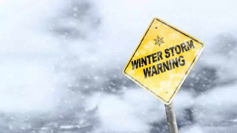
Winter Storm Warnings Issued Across Multiple States
The National Weather Service has already issued winter storm watches in the South, anticipating heavy snow, freezing rain, and sleet. These initial alerts are expected to escalate into Winter Storm Warnings and Ice Storm Warnings as the storm intensifies, targeting areas forecasted to experience the most severe conditions. The combination of snow and ice could render roads impassable and lead to the collapse of trees and power lines, potentially leaving thousands without electricity for extended periods, possibly lasting several hours or even days.
Timeline of Winter Storm Fern's Impact
The storm's progression will unfold over the weekend, with distinct phases affecting different regions:

Friday: Initial Onset in the Southern Plains
Winter Storm Fern is projected to begin its assault on the Southern Plains early Friday morning, spreading snow, sleet, and freezing rain across Oklahoma, northern and western Texas, Arkansas, and northern Mississippi. Travel conditions are expected to become extremely dangerous, particularly on highways and rural roads. By Friday night, the storm will shift southward and eastward, moving into the lower Mississippi Valley, Tennessee Valley, and Appalachians, with effects reaching parts of Virginia and the Carolinas. Precipitation will persist in the Southern Plains while expanding into these new areas.
Saturday: Peak Intensity and Expanding Reach
On Saturday, the storm will gain strength, delivering heavier snow and ice to Texas, Louisiana, Mississippi, Alabama, and continuing into Kentucky, Tennessee, West Virginia, Virginia, and the Carolinas. The dangerous road conditions, coupled with accumulating ice, are likely to trigger power outages and cause trees to fall. By Saturday night, precipitation will extend to the Texas Gulf Coast, southwestern Louisiana, central Mississippi, northern Alabama, northern Georgia, and South Carolina. Snow and ice will also spread into the mid-Atlantic, affecting major cities along the East Coast. Roads will remain hazardous, making travel extremely risky.
Sunday: Gradual Weakening but Persistent Hazards
Sunday will see precipitation gradually decrease in Texas, but adverse conditions will linger across Louisiana, the Tennessee Valley, Appalachians, Carolinas, and Northeast states. Snow and ice may persist into Sunday night or Monday, prolonging travel dangers and complicating recovery efforts.
Key Hazards and Safety Precautions
One of the most critical dangers associated with Winter Storm Fern is ice accumulation. From Texas through the Carolinas, sufficient ice is forecasted to create extremely slippery roads, knock down trees, and cause widespread power outages. Residents are strongly advised to avoid travel whenever possible, prepare emergency supplies, and stay updated with alerts from local authorities.
While exact snowfall totals remain uncertain, large areas of the Southern Plains and Mid-Atlantic are expected to experience significant snow accumulations mixed with sleet and ice. The worst travel conditions could make roads impassable, especially in rural and hilly regions like the Appalachians. Drivers should anticipate hazardous, slow-moving traffic and consider postponing non-essential trips.
Meteorological Factors Behind the Storm's Severity
Winter Storm Fern is driven by a rare meteorological convergence:
- Arctic High-Pressure System: Cold air originating from the Great Lakes is moving southward, significantly lowering temperatures across the South.
- Southwest Low-Pressure System: Moisture from the Southwest is moving north into the cold air, generating widespread snow, ice, and sleet.
This combination results in a high-impact winter event affecting millions of people across multiple states.

Preparedness Recommendations for Affected Communities
To mitigate the storm's impact, residents in the path of Winter Storm Fern should take proactive measures:
- Continuously monitor weather alerts and updates.
- Prepare for potential power outages that could last several hours or days.
- Avoid travel during peak periods of snow and ice accumulation.
- Ensure heating systems are operational and stock up on emergency supplies.
With adequate preparation and caution, communities can reduce the adverse effects of Winter Storm Fern, which may emerge as one of the most significant storms of the season.