NGT Pulls Up Punjab Government for Delayed Floodplain Demarcation Along Satluj River
The National Green Tribunal (NGT) has strongly criticized the Punjab government for failing to meet its own deadline in the crucial floodplain demarcation project along the Satluj river. The tribunal highlighted the absence of a clear timeline for completion, despite earlier assurances from state authorities that the work would be finished within ten months.
Details of the Floodplain Demarcation Project
This matter pertains to the demarcation of floodplain zones along a 47-kilometer stretch of the Satluj river, covering the districts of Ferozepur and Tarn Taran. A bench comprising Justice Prakash Shrivastava, Dr. A. Senthil Vel, and Dr. Afroz Ahmad reviewed a status report submitted by the Punjab government's Department of Water Resources.
The tribunal noted that on October 3, 2025, the Principal Secretary of Water Resources had committed to completing the exercise within ten months. However, the latest report fails to specify any definitive timeline, raising concerns about further delays.

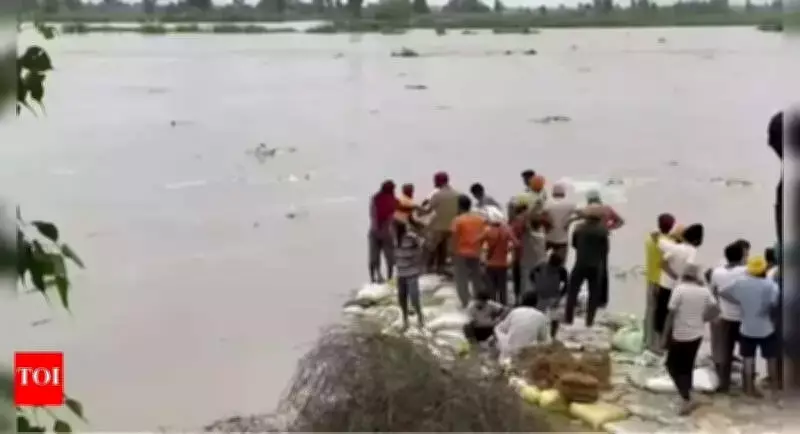
Progress and Challenges in the Survey Work
The floodplain zoning is being conducted based on the 1-in-100-year highest flood level (HFL), with a drone-based survey underway to map the contours and extent of the floodplain. This survey is being carried out by the Survey of India.
According to the status report, significant portions of the survey have been completed in the Nangal region, while work in the Harike area remains incomplete. Delays have been attributed to security restrictions in border areas and pending permissions from central authorities.
The Punjab government informed the tribunal that on February 3, 2026, the Chief Engineer of the Drainage-cum-Mines and Geology, Water Resources Department, wrote to the Director of the Northern Zone, Survey of India, in Chandigarh. This communication sought the provision of a digital elevation model (DEM) and digital ortho-imagery (ORI) based on the 1-in-100-year HFL, following a memorandum of understanding dated August 28, 2025.
In response, the Survey of India agreed to provide DEM and digital ortho-imagery for mapping and developing a flood-risk model. However, it clarified that the scientific demarcation of floodplain zones based on HFL does not fall within its mandate.
Current Status and Operational Hurdles
As per the status update submitted on April 1, 2026, drone surveys were planned to cover 540.1 square kilometers in Harike and 1,321.2 square kilometers in Nangal. To date, approximately 13 square kilometers in Harike and 1,221 square kilometers in Nangal have been covered. Ortho-rectified imagery and a digital surface model for the surveyed Harike area have also been generated.
The state government reported that drone operations could not be completed as flying permissions expired on February 10, 2026. Fresh approvals are awaited from the Ministry of Civil Aviation, Ministry of Home Affairs, and the Border Security Force. Additionally, tendering for hiring digitization agencies has been finalized for further processing, including digital terrain model generation.
Citing constraints related to border security and the need for specialized modeling using HEC-RAS software, the state has requested additional time to complete the floodplain zoning exercise.
NGT's Directives and Future Hearings
Taking note of the significant delays, the NGT has directed the Principal Secretary of the Water Resources Department in Punjab to file a fresh affidavit. This affidavit must detail the progress made and provide a clear timeline for completion, to be submitted at least one week before the next hearing. The matter has been scheduled for further hearing on July 30, 2026.
The tribunal's intervention underscores the urgency of this environmental and safety issue, as accurate floodplain demarcation is critical for disaster management and land-use planning in the region.