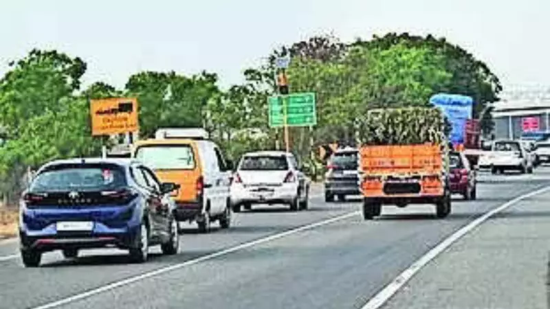
The National Highways Authority of India (NHAI) has raised a serious alarm over the absence of mobile network coverage on several key highway and expressway stretches across the country. This gap in cellular connectivity is not just an inconvenience for daily commuters but poses a significant threat to road safety by hampering emergency communication with first responders like ambulances and patrol vehicles.
Mapping the Communication Blackspots
In a detailed exercise, NHAI has pinpointed 424 specific "telecom blackspots" spanning approximately 1,750 kilometers of national highways. The authority has formally shared this critical data with the Telecom Regulatory Authority of India (TRAI), urging the regulator to direct telecom service providers to immediately improve network coverage in these vulnerable sections.
NHAI Chairman Satosh Kumar Yadav highlighted the operational crisis in a letter to TRAI Chairman Anil Kumar Lahoti. He emphasized that the lack of mobile connectivity is severely disrupting highway operations, coordination with field units, and the effectiveness of enforcement agencies during emergencies.

Critical Highways Affected by Network Gaps
Officials note that the problem is more acute on newly built greenfield highways, expressways, and remote sections. Some of the major corridors impacted include:
- Delhi-Mumbai Expressway: A 69-kilometer stretch passing through Ratlam and the entire 51-km section between Harda and Betul in Madhya Pradesh have no mobile network.
- Bengaluru-Chennai Expressway: Nearly 15 kilometers suffer from a complete network blackout.
- Other Critical Stretches: This includes 17 km on the Tambaram-Tindivanam section in Tamil Nadu, 11.8 km on the Warangal-Khammam section in Andhra Pradesh, and 10.8 km on the Mumbai-Vadodara Expressway in Thane.
NHAI field officers and highway patrol staff conducted an intensive survey to identify these exact locations, mapping them with precise latitude and longitude coordinates and the nearest village for accuracy.
Proactive Alerts for Accident-Prone Zones
In a related push for enhanced safety, NHAI has also identified around 1,665 accident-prone locations, many linked to hazards like stray cattle movement. The authority has proposed a innovative solution to TRAI: implementing proactive SMS and Flash SMS alerts for drivers approaching these geo-mapped danger zones.
"These alerts are intended to reach users approximately 15 minutes in advance as they approach such locations," explained an official. NHAI has requested TRAI to direct telecom operators to facilitate these life-saving alerts free of cost, purely in the interest of road user safety. "This initiative has the potential to save numerous lives," the official added.
The dual approach of fixing mobile blackspots and instituting advance warning systems underscores NHAI's focus on leveraging technology to make India's sprawling highway network safer for all commuters.