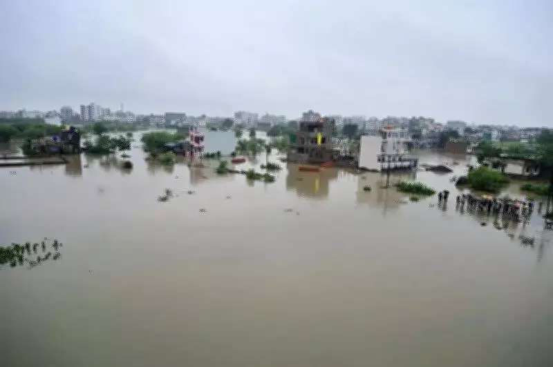
Nagpur: With monsoon knocking on the city's doors and memories of flooded roads, submerged homes and stranded commuters still fresh, the Nagpur Municipal Corporation's fire and emergency services department has identified 77 low-lying areas vulnerable to waterlogging and 59 basement structures across the city prone to flooding. All zonal offices have been alerted to initiate preventive measures.
The extensive exercise, carried out by all fire stations, underscores the scale of Nagpur's recurring monsoon vulnerability despite years of promises to improve stormwater drainage infrastructure. The list has now been circulated among zonal offices, which have been directed to undertake pre-monsoon preparedness measures, clear drains, remove obstructions and keep emergency response teams on standby.
The survey reveals that some of the city's most densely populated residential pockets, commercial hubs and traffic junctions continue to remain at risk of inundation every year. Areas along Pili River, low-lying slums, major road intersections and several residential colonies have once again figured on the danger list.

The highest number of vulnerable locations has been reported under Narendra Nagar fire station, which identified 22 waterlogging-prone spots, including stretches of Pratap Nagar Ring Road, Deo Nagar, Trimurti Nagar, Manish Nagar, Rameshwari and Beltarodi. The station has also flagged seven basement structures susceptible to flooding. Ganjipeth fire station and Sugat Nagar fire station have each identified 14 vulnerable locations, including Bajeria, Mominpura, Bharat Mata Chowk, Binaki, Samta Nagar and areas adjoining Pili River. Several apartment complexes, banks and educational institutions in these jurisdictions have also been listed as basement flooding risks.
The Civil Lines fire station has marked nine flood-prone locations, including Kachipura slum, Zingabai Takli, Pandhrabodi, Hazaripahad and Mankapur Ring Road, while Kalmana fire station has identified seven vulnerable spots, including Bharatwada, MHADA Colony and Garib Nawaz Nagar.
Even central commercial zones have not escaped scrutiny. Cotton Market fire station has flagged areas near Lokhandi Pul and near Ashok Square for recurring waterlogging, while several basement structures in Dhantoli and Ganjipeth have been classified as high-risk.
Officials said the identification of hotspots is intended to help civic departments act before heavy rains expose weak links in the city's drainage network. However, the sheer number of locations on the list raises uncomfortable questions about the effectiveness of annual pre-monsoon works and the city's ability to withstand intense rainfall events that have become increasingly frequent in recent years.
With weather agencies forecasting an active monsoon phase, the civic body's preparedness will now be tested not on paper, but on Nagpur's streets, colonies and flood-prone neighbourhoods when the first spell of heavy rain arrives.

Fire Station-wise Breakdown of Vulnerable Locations
- Civil Lines: 9 low-lying areas, 5 flood-prone basements
- Narendra Nagar: 22 low-lying areas, 7 flood-prone basements
- Lakadganj: 5 low-lying areas, 10 flood-prone basements
- Cotton Market: 2 low-lying areas, 9 flood-prone basements
- Kalmana: 7 low-lying areas, 0 flood-prone basements
- Ganjipeth: 14 low-lying areas, 9 flood-prone basements
- Sugat Nagar: 14 low-lying areas, 9 flood-prone basements
- Sakkardara: 4 low-lying areas, 10 flood-prone basements