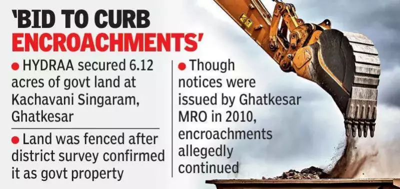
The Hyderabad Disaster Response and Asset Protection Agency (HYDRAA) has successfully secured 6.12 acres of government land located at Kachavani Singaram village in Ghatkesar, Hyderabad. This action was taken after district survey officials conclusively confirmed that the land belongs to the government, following a detailed demarcation process.
Official Demarcation and Fencing Process
Officials stated that the land was fenced only after the district survey officer meticulously demarcated the boundaries and officially declared it as government property. While existing residential structures on the site were excluded to avoid disruption, the remaining land was secured on Monday to prevent any further encroachments and protect public assets.
Alleged Illegal Sales and Occupation
According to HYDRAA commissioner AV Ranganath, members of the Hanumanth Reddy family allegedly sold nearly 50 plots carved out of this government land. They reportedly used survey numbers 62 and 63, which are private lands, to market these plots as part of the Divya Nagar layout. Additionally, the family directly occupied around three acres of the land, developing it into a mango orchard without any formal allotment or authorization.

Historical Context and Legal Actions
Officials revealed that Nallamalla Reddy had applied in 2009 seeking allocation of the land for educational institutions. However, revenue records consistently classified the land as government property. Despite notices issued by the Ghatkesar Mandal Revenue Officer in 2010, the encroachments allegedly continued unabated.
In response, HYDRAA filed a formal complaint at the Medipally police station against Nallamalla Reddy and members of the Hanumanth Reddy family. The complaint was lodged under relevant sections of the Bharatiya Nyaya Sanhita and the Prevention of Damage to Public Property Act (PDPP), highlighting the seriousness of the alleged violations.
Enforcement Based on Re-verification
Officials emphasized that enforcement action was taken only after an assistant or additional director (AD) survey team re-verified and demarcated the land. This step ensured that all measures were based on accurate and up-to-date survey data, reinforcing the legitimacy of HYDRAA's intervention to safeguard government property from unauthorized use.