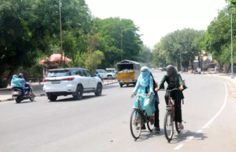
Chandigarh recorded a scorching 40.7 degrees Celsius on Saturday, June 27, 2026, as the southwest monsoon continued to delay its arrival in northwest India. The India Meteorological Department (IMD) issued a yellow alert for heatwave conditions on Sunday and Monday, while the next significant spell of rain is expected only from Thursday, July 2.
Heatwave Returns After Brief Break
The latest IMD bulletin indicates that dry weather has tightened its grip over Chandigarh, Punjab, and Haryana, allowing temperatures to rise steadily. Chandigarh's maximum temperature was 4.4 degrees above normal, making it the second hottest station in Punjab, behind only Bathinda. The city's minimum temperature also rose, remaining 0.2 degree above normal, leading to uncomfortably warm nights after a brief cooling period earlier in the week.
Across Punjab, average maximum temperatures rose further and remained appreciably above normal. Haryana also experienced an increase in both day and night temperatures as dry continental winds strengthened over the region. The rising mercury has effectively erased the cooling impact of isolated showers from earlier in the week.

IMD Yellow Alert for Heatwave
Reflecting the deteriorating conditions, the IMD issued a yellow alert for heatwave conditions over Chandigarh and parts of Haryana on Sunday and Monday, warning residents of hot afternoons and elevated discomfort levels. However, the weather office ruled out any immediate rainfall. No weather warning has been issued for Tuesday and Wednesday, indicating predominantly dry weather with partly cloudy skies across the region.
Rain Expected from Thursday
Relief is expected only from Thursday, when a fresh western disturbance and increasing moisture are likely to revive thunderstorm activity over northwest India. Accordingly, the IMD issued a yellow alert from Thursday to Saturday for thunderstorms, lightning, and gusty winds reaching 40-50 kmph, accompanied by scattered to fairly widespread rainfall across Punjab, Haryana, and Chandigarh. The wet spell is expected to extend into the next weekend, offering the first meaningful opportunity for widespread relief from the prevailing heat.
For the Tricity (Chandigarh, Mohali, Panchkula), maximum temperatures are expected to remain around 39 degrees Celsius through Tuesday before dipping by about two degrees from Wednesday onwards as cloudiness increases ahead of the expected rainfall. Minimum temperatures are forecast to remain elevated between 26 and 27 degrees Celsius, making nights warmer and more humid through the first half of the week.
Meteorologist Explains Monsoon Delay
A senior IMD meteorologist explained that the region continues to remain outside the active monsoon belt, resulting in prolonged hot weather despite the monsoon having advanced over large parts of the country. “The southwest monsoon has not yet advanced into Punjab, Haryana and Chandigarh because the atmospheric conditions required for its northward progression are still evolving. In the absence of widespread monsoon rainfall, temperatures have risen again and heatwave conditions have re-emerged over parts of the region. The next significant weather change is expected from Thursday onwards when moisture incursion and favourable upper-air conditions are likely to trigger thunderstorms and more widespread rainfall. That spell should bring a noticeable drop in temperatures and provide relief from the prevailing heat,” the meteorologist said.
Outlook for Residents
For residents of Chandigarh, Mohali, and Panchkula, the forecast offers little respite over the next four days. With heatwave conditions returning, hot afternoons and increasingly warm nights are expected to dominate before thunderstorms and rain are likely to usher in comparatively pleasant weather towards the end of the week.