Gurgaon: Haryana witnessed a loss of 30 hectares of natural forest in 2025, resulting in an estimated 6.9 kilotonnes of carbon dioxide emissions, as per data from Global Forest Watch (GFW), a platform that monitors forest changes through satellite imagery.
This loss is part of a broader trend. Between 2001 and 2025, the state lost 450 hectares of tree cover, which accounts for 1% of its total tree cover recorded in the year 2000.
The figures become more alarming when considering that Haryana already has the lowest forest cover among Indian states, with only 3.6% of its geographical area officially designated as forest, according to the Forest Survey of India's India State of Forest Report 2021. The same report noted an 8% decline in tree cover between 2019 and 2021, dropping from 1,565 sq km to 1,425 sq km. GFW estimates that Haryana had approximately 39,000 hectares of natural forest in 2020, covering merely 0.89% of its land area.

District-Wise Breakdown of Tree Cover Loss
Panchkula recorded the highest tree cover loss between 2001 and 2025 at 190 hectares, followed by Ambala (72 hectares) and Yamunanagar (51 hectares). Other districts with losses include Kaithal (27 hectares), Kurukshetra (22 hectares), Gurgaon (15 hectares), Jind (14 hectares), Faridabad (10 hectares), Jhajjar (8 hectares), and Palwal (7 hectares). Together, Panchkula and Ambala accounted for nearly 58% of the state's total loss during this period.
Drivers of Deforestation
Agriculture was the primary driver, responsible for 220 hectares of loss, followed by settlements and infrastructure (52 hectares) and hard commodity-related activities (7 hectares). Across these categories, 88% of losses occurred in areas where deforestation was permanent, meaning the land is unlikely to revert to forest cover.
In contrast, the state's official numbers indicate a net gain. Between 2000 and 2020, Haryana registered an increase of 8,700 hectares of tree cover, a 16% rise, with 54,000 hectares remaining stable and nearly 9,800 hectares showing new growth.
However, this apparent improvement masks a critical distinction: tree cover and natural forest are not synonymous. Plantations, farm trees, and roadside greenery all count as tree cover in satellite data, potentially offsetting losses on paper while natural, ecologically significant forest continues to shrink.
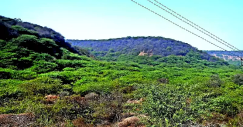
RP Balwan, former conservator of forests in Gurgaon, stated: "Large stretches of the Aravalis continue to remain outside formal forest records despite possessing all ecological characteristics of forests. Unless these areas receive legal recognition and protection, they will remain vulnerable to fragmentation and diversion."
This concern is not new. Following the Supreme Court's landmark 1996 judgment directing states to identify and record forest lands, environmental groups have repeatedly argued that significant portions of the Aravali landscape, despite functioning as natural forests, remain outside the ambit of legal protection.
Stay updated with the latest Gurgaon news. Download the TOI App.