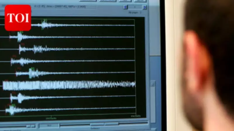
An earthquake of magnitude 4.6 on the Richter scale struck the Bay of Bengal on Tuesday morning, according to the National Centre for Seismology (NCS). The tremor occurred at 7:43:17 am Indian Standard Time (IST) at a depth of 10 kilometres, the NCS confirmed.
According to the agency, the earthquake was recorded at a latitude of 14.027 degrees north and a longitude of 93.132 degrees east in the Bay of Bengal. The National Centre for Seismology shared an update on the social media platform X, stating: "EQ of M: 4.6, On: 02/06/2026 07:43:17 IST, Lat: 14.027 N, Long: 93.132 E, Depth: 10 Km, Location: Bay of Bengal."
Earlier, on February 11 this year, a magnitude 4.3 earthquake was recorded in the Bay of Bengal. That tremor occurred at 5:12 am IST at a depth of 10 kilometres, with its epicentre located at 14.94 degrees north latitude and 90.18 degrees east longitude, as per the NCS.

As per the United States Geological Survey (USGS), earthquakes can occur anywhere from the Earth's surface to around 700 kilometres below it. Based on depth, they are classified into three categories: shallow (0-70 km), intermediate (70-300 km), and deep (300-700 km) earthquakes. Shallow earthquakes are between 0 and 70 km deep; intermediate earthquakes range from 70 to 300 km deep; and deep earthquakes span 300 to 700 km in depth. In general, the term "deep-focus earthquakes" is applied to earthquakes deeper than 70 km, the USGS states.
The latest earthquake falls under the shallow-category classification due to its depth of 10 kilometres. Shallow earthquakes are more commonly felt by people and can cause more damage compared to deeper ones, as the energy is released closer to the surface.