
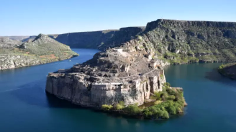
Long before cities rose across Mesopotamia and centuries before writing first appeared on clay tablets, the landscape of western Asia was being shaped by forces hidden deep beneath the ground. The Euphrates River, later associated with some of humanity's earliest urban societies, did not always follow its familiar course. Its path emerged gradually through geological upheaval, shifting terrain and changing drainage systems over millions of years.
According to Reuters, a new study has traced the river's origins far beyond recorded history, suggesting that the waterway known to ancient cultures resulted from a much older transformation involving separate river networks and powerful tectonic activity. The findings offer a rare glimpse into how one of the world's most historically significant rivers was assembled long before it became a lifeline for civilisation.
How the Ancient Euphrates River Flowed into a Very Different Mediterranean
The modern Euphrates stretches from Turkey through Syria and Iraq before reaching the Persian Gulf, but the research suggests its earliest form looked very different. According to the study titled “Late Miocene Euphrates River drained into a partially desiccated eastern Mediterranean”, two large river systems once flowed independently across what is now southern Turkey and neighbouring regions. The researchers refer to these ancient waterways as the Palaeo-Karasu and Palaeo-Murat rivers. Rather than feeding the Gulf, both systems drained westward into a partially dried eastern Mediterranean during the Late Miocene period, more than five million years ago.

At the time, the Mediterranean itself was undergoing dramatic environmental change during an episode known as the Messinian salinity crisis, when parts of the basin became isolated from the Atlantic and water levels dropped substantially. Ancient river channels carried enormous quantities of sediment into these altered landscapes, leaving traces that would remain buried for millions of years. Those traces eventually became the key to reconstructing the river's history.
Hidden Mediterranean Clues Reveal the Euphrates River's Past
The investigation began with data gathered for an entirely different purpose. Geologists examining subsurface structures beneath the eastern Mediterranean identified unusual channel-shaped features preserved beneath layers of sediment. Reuters reported that these buried formations were detected through seismic imaging, a technique that uses reflected sound waves to create detailed pictures of underground rock layers. The approach allowed researchers to identify remnants of ancient river systems that no longer exist at the surface.
By combining seismic records with geological mapping and computer modelling, the team linked the hidden channels to predecessors of the modern Karasu and Murat rivers. Their analysis indicated that these waterways once travelled towards the Mediterranean before major geological changes redirected them. The buried deposits also hinted at something unexpected. Despite having smaller drainage basins than modern river systems, the ancient rivers appear to have carried exceptionally large volumes of water and sediment, suggesting wetter local conditions and substantial elevation differences across the region during that period.
Tectonic Shifts Helped Shape the Modern Euphrates River
The transition from separate rivers to the modern Euphrates was not sudden. It unfolded over millions of years as eastern Anatolia experienced tectonic deformation. According to Reuters, the study estimates that key diversions occurred between roughly 3.6 million and 1.6 million years ago. Movement along major fault systems and gradual uplift in the Taurus Mountains altered regional slopes and drainage patterns. Rivers that once flowed towards the Mediterranean were progressively redirected southeastward.

As per the study, the Murat system shifted first, eventually draining towards the Persian Gulf. The Karasu system later joined it, creating a larger combined river that evolved into the Euphrates recognised today. Geological evidence suggests the process involved multiple stages of river capture and redirection rather than a single dramatic event. Earthquakes likely played a role as well. Some of the proposed diversion points lie close to active fault zones that continue to generate seismic activity in modern Turkey.
How the Euphrates River Supported the World's Earliest Cities
By the time agriculture and permanent settlements began spreading across Mesopotamia, the Euphrates had already settled into a course broadly similar to its modern one. Cities such as Uruk, Babylon, Ur and Mari flourished along its banks, benefiting from fertile floodplains created by centuries of sediment deposition. Reuters noted that the river, together with the Tigris, helped sustain one of the world's earliest centres of urban development, where writing systems, organised agriculture and early states emerged.
The new research does not alter that historical story, but it adds a much deeper chapter. The fertile landscapes that supported civilisation were themselves the product of geological processes operating over millions of years. According to the study, understanding how the Euphrates formed provides a broader context for the environmental conditions that eventually allowed the Fertile Crescent to develop. The river that became central to human history was first shaped by shifting plates, rising mountains and ancient waterways whose courses vanished long before the first city walls appeared.


