The Bay of Bengal is brewing a powerful weather system as Cyclone Mocha intensifies into a severe cyclonic storm. Meteorological departments are closely monitoring its trajectory, with significant impacts expected across multiple eastern states.
Projected Path and Landfall Details
According to the latest IMD bulletin, Cyclone Mocha is expected to make landfall between May 12th and 13th. The system is currently moving northwestward and is projected to affect coastal regions of Odisha and West Bengal most significantly.
States on High Alert
Several states have been put on cyclone alert as Mocha approaches:

- Odisha: Coastal districts including Puri, Jagatsinghpur, and Kendrapada
- West Bengal: East Medinipur, South 24 Parganas, and North 24 Parganas
- Andhra Pradesh: Northern coastal regions
- Bangladesh: Coastal areas are also expected to experience impact
Expected Wind Speeds and Weather Conditions
The cyclone is packing powerful winds that could reach 100-120 kmph, gusting up to 140 kmph as it approaches the coast. The weather system is also expected to bring:
- Heavy to extremely heavy rainfall in affected regions
- Storm surges in coastal areas
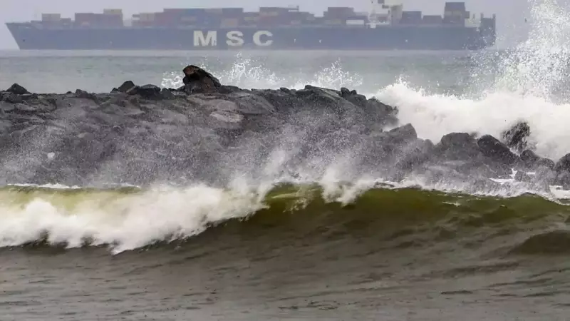
- Rough sea conditions with high waves
Precautionary Measures and Safety Advisory
Authorities have initiated several precautionary measures:
- Fishermen have been advised not to venture into the sea
- Coastal communities are being alerted about evacuation procedures
- NDRF teams have been prepositioned in vulnerable areas
- Emergency response systems have been activated
Residents in affected areas are advised to stay updated with official weather bulletins, secure their properties, and follow evacuation orders if issued. The cyclone season typically brings increased weather activity to the Bay of Bengal region, making preparedness crucial for coastal communities.