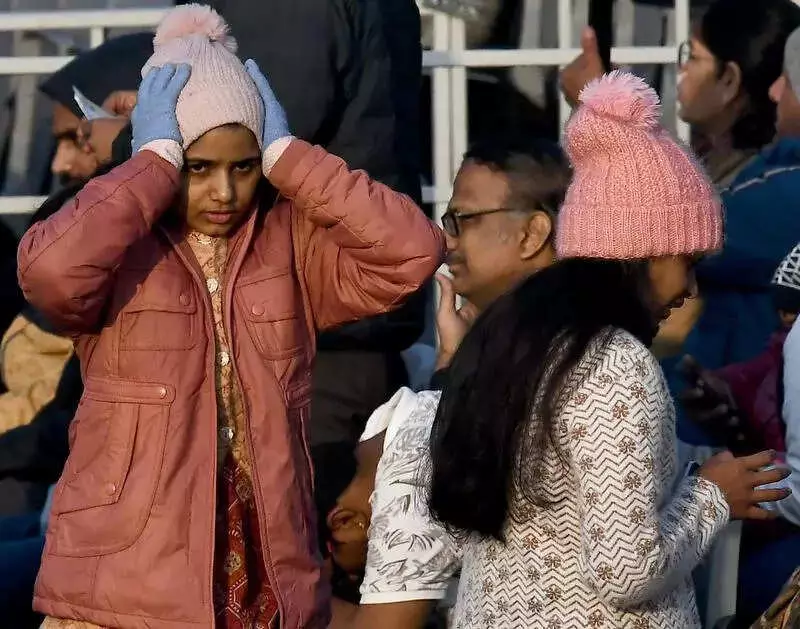
New Delhi witnessed a severe cold spell on Monday as the minimum temperature plunged to 3.6°C in certain areas, with isolated cold-wave conditions officially recorded across the capital. This chilling dip made it the coldest Republic Day celebration since 2021, when temperatures had fallen to 2.1°C.
Temperature Plunge and Cold-Wave Criteria
Safdarjung, which serves as Delhi's primary weather base station, registered a minimum of 4.2°C—four degrees below the seasonal normal. Meanwhile, Ayanagar recorded the city's lowest minimum at 3.6°C, a significant 5.4 degrees below normal, and Ridge reported 5.3°C, also five notches below normal.
The India Meteorological Department (IMD) defines a cold wave when the minimum temperature drops below 10°C and is at least 4.5°C below normal, or when it falls to 4°C or lower. On Monday, at least two stations in Delhi met these stringent criteria, confirming the onset of cold-wave conditions.

Air Quality Deteriorates to Poor Category
Simultaneously, Delhi's air quality took a turn for the worse, slipping back into the 'poor' category. This ended a rare two-day stretch of moderate Air Quality Index (AQI) in January. The 24-hour average AQI rose to 241 by 4 pm on Monday, up from 153 on Sunday, which had been the lowest January reading in four years.
Weather Patterns and Forecast
Clear skies and persistent northwesterly winds over the weekend were primarily responsible for the sharp temperature drop. However, wind speeds eased on Monday due to an approaching western disturbance. This weather system is expected to raise the minimum temperature and bring light rain to Delhi on Tuesday.
The IMD has issued a yellow alert for Delhi-NCR for Tuesday, predicting one to two spells of light rain accompanied by gusty winds up to 40 km/hr. These conditions are anticipated to help improve air quality temporarily.
Broader Impact Across Northwest India
The western disturbance is forecast to bring light to moderate rain and snowfall over the western Himalayan region on January 27 and 28. Isolated heavy rain or snow, along with hail, is likely on January 27. Additionally, light to moderate rain and isolated thunderstorms or hailstorms are expected over parts of northwest India.
Fresh snowfall in the higher reaches of the western Himalayas is likely to pull down minimum temperatures across the plains from January 29 onwards, according to weather experts.
Temperature and AQI Projections
Delhi's maximum temperature on Monday settled at 23.2°C, one degree above normal, compared to 18.2°C on Sunday. For Tuesday, the minimum temperature is likely to hover between 8°C and 10°C, with the maximum expected to stay in the 18°C–20°C range.
Mahesh Palawat, vice-president at Skymet, explained, "When a western disturbance approaches, winds shift to warmer easterlies, raising the minimum temperature. Overcast skies also lead to a dip in the maximum."
The Centre's Air Quality Early Warning System (EWS) forecasts that Delhi's AQI will return to the 'moderate' range on Tuesday following the anticipated rain. It is expected to remain moderate on January 27–28 but slip back to 'poor' on January 29. Between January 30 and February 4, the AQI is projected to mostly stay in the 'poor' category.