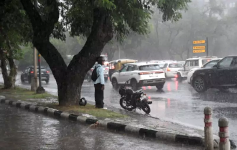
A brief but intense spell of moderate to heavy rain on Friday evening brought welcome relief to Chandigarh after the city endured one of its hottest days of the week. The downpour, accompanied by thunder and gusty winds, lashed several parts of the city for less than 30 minutes starting around 5:30 pm, before skies cleared and temperatures dropped.
Temperature Spikes Before the Rain
Earlier in the day, Chandigarh's maximum temperature soared by 4.1 degrees Celsius to reach 37.7°C, which was 2.2 degrees above normal. This made it the second highest maximum temperature recorded in the Punjab-Haryana region, behind Ambala's 38.6°C. The minimum temperature also rose by 2.3 degrees to 26.8°C, though it remained 0.3 degrees below normal, indicating that nights are becoming warmer again. Relative humidity fluctuated between 47% and 78% during the day.
Rainfall and Alert Details
The India Meteorological Department (IMD) had not recorded any rainfall at the Chandigarh observatory until 5:30 pm, though traces were reported at the airport. The evening spell occurred after the observation period and brought localized relief across the city. The IMD has extended the yellow alert for Saturday and Sunday, forecasting thunderstorms, lightning, and gusty winds with speeds of 40-50 kmph at isolated places.

The weather office has also indicated a more active phase from Monday through Thursday, with the yellow alert continuing for thunderstorms, lightning, gusty winds, and intermittent heavy rainfall over Chandigarh. The forecast suggests scattered to fairly widespread rain during this period, which is expected to keep daytime temperatures under check after Friday's rise.
Meteorologist's Insights
A meteorologist explained that the fluctuations in temperature are typical of the early monsoon phase. "Day temperatures can rise quickly during breaks in rainfall because of solar heating. However, moisture availability remains high over the region. Thunderstorm activity is expected to continue over the next few days, with a more active spell likely from Monday, leading to more frequent rainfall and moderation in temperatures," he said.