
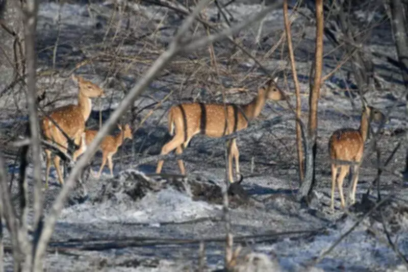
Karnataka Emerges as National Leader in Forest Fire Containment Through Advanced Technology
In Bengaluru, despite ideal conditions for large-scale forest fires—such as rising temperatures and dry, hot winds—especially in the biodiversity-rich Western and Eastern Ghats, Karnataka has successfully contained nearly 90% to 95% of reported incidents before they escalated. This achievement positions the state as a national model in forest fire management, credited to its adoption of cutting-edge technology and rapid-response systems.
Robust Early Warning System Based on Satellite Monitoring
Data from the forest department reveals that over 9,000 forest fire alerts have been recorded since January 2026, encompassing both forest areas and buffer zones. Officials report that most incidents were quickly contained, preventing them from turning into major disasters. The success is largely attributed to a robust early warning system powered by satellite monitoring.
The shift to this technology-driven approach from traditional methods followed devastating fires at the Bandipur Tiger Reserve in February 2017 and 2019, which together ravaged more than 12,000 acres of forest, claimed the life of a forest watcher, and left several officials injured. A key change was collaboration with the Karnataka State Remote Sensing Application Centre (KSRSAC), leading to the creation of a home-grown forest fire alert system that now plays a critical role in managing incidents.

Near-Real-Time Alerts and Enhanced Accountability
Anil Kumar Ratan, additional principal chief conservator of forests (forest resource management), explained: "Forest fires captured by satellites are processed in near-real time at the Hyderabad-based National Remote Sensing Application Centre and converted into actionable alerts by KSRSAC, which are disseminated to field staffers within minutes. The alerts include precise geographical coordinates, weather parameters, and nearby landmarks, enabling rapid deployment of ground teams."
These alerts are transmitted directly to frontline personnel—from beat guards to senior officers—via SMS. Field personnel are mandated to respond immediately and upload geo-referenced photographs along with action taken reports on an integrated digital platform. This system has significantly improved accountability, with feedback rates rising from 43% in 2020 to 98% in 2025. As of February 2026, the department has recorded a feedback rate of 99%.
Preventive Measures and Community Involvement
Officials noted that nearly 60% of alerts originate from agricultural fields in buffer zones or are linked to controlled burning carried out to create fire lines. In cases where fires are deliberately set, legal action has been initiated against offenders.
Eshwar Khandre, forest minister, stated: "Trained personnel are deployed at the control room who track every alert besides following up with field officials. We also receive alerts from citizens via our helpline ‘1926’, which has strengthened our surveillance. Besides, our department regularly implements preventive measures, like setting up watchtowers in sensitive areas and controlled burning to create and maintain fire lines. We also involve local communities and hire tribal groups as seasonal fire watchers. They are our first line of defence in summer months."
Leveraging Data for Future Preparedness
Karnataka has also leveraged historical fire data to develop fire risk zonation maps and weekly fire spread vulnerability forecasts using inputs from the India Meteorological Department (IMD). Advanced geospatial tools now provide real-time decision support to both field staff and senior officials, enhancing the state's proactive approach to forest fire management.


