Maharashtra Faces Sharp Temperature Rise, IMD Assures No Heatwave Conditions
The India Meteorological Department (IMD) has announced that day temperatures across Maharashtra are poised to increase significantly over the next two to three days. While some regions may experience highs of 36–37°C, levels more commonly associated with early March, the IMD has firmly ruled out any heatwave-like conditions for the immediate future.
Regional Temperature Highlights Across Maharashtra
On Friday, Vidarbha continued to lead as the hottest region in the state. Brahmapuri recorded the highest temperature at 36.7°C, which is 3° above the normal range for this period. Following closely, Akola and Amravati registered 35.6°C and 35.8°C, respectively, with positive departures of 1.2° and 2.8° from seasonal averages.
In Marathwada, Parbhani reported a near-normal reading of 33.8°C, while Beed logged 33.3°C, marking a 1.1° increase above normal. Moving to west and central Maharashtra, Pune (Shivajinagar) saw a maximum of 33°C, slightly 0.3° below normal, whereas Lohegaon was warmer at 35.1°C, a notable 1.8° above normal.

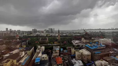
Malegaon stood out with a significant departure of 5.5° above normal, as its minimum temperature reached a warm 18.4°C and maximum hit 33.2°C. This indicates how much warmer nights have been compared to the seasonal average. In the Konkan belt, Mumbai recorded 31.8°C, 1.2° above normal, and Ratnagiri was at 35.5°C, 3.5° above normal.
IMD Forecast and Expert Insights
The IMD predicts a gradual rise in maximum temperatures by 2–3° across Maharashtra during the next two to three days. Minimum temperatures are expected to remain stable with no significant changes over the next four days.
IMD scientist SD Sanap explained that while temperatures may climb to 36–37°C in some locations, they are unlikely to approach 40°C. "It will be around 2-3° above normal at many places, but there will not be heatwave-like conditions. Around 36-37°C in some locations can be expected in the coming days," he stated.
Sanap attributed the current temperature rise to seasonal transition and the dominance of easterly winds over the past few days, which have limited the intrusion of northerly cold air. "This time of the month, temperatures could have been around 28–30°C at some places, but they are crossing 33–34°C. So, departures look high, but absolute temperatures are not extremely high," he elaborated.
He added that daytime temperatures are likely to ease after the next two to three days as weather patterns undergo changes, providing some relief from the current spike.