Uttar Pradesh Weather Update: Fresh Rainfall Spell Expected from January 27
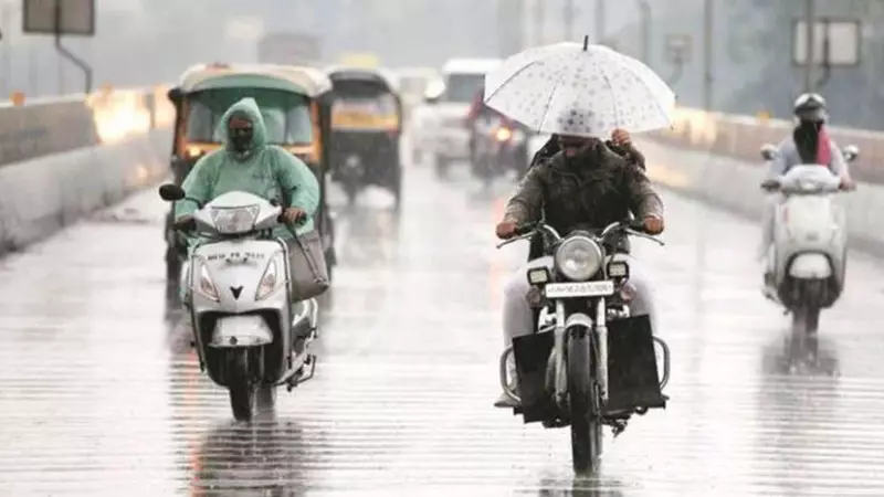
Residents of Uttar Pradesh should prepare for another significant rainfall spell beginning January 27, 2026, as meteorological conditions align to bring precipitation across the state. This weather development follows recent heavy rainfall in the northwestern part of the state and is expected to bring notable temperature fluctuations.
Rainfall Timeline and Intensity
The upcoming rainfall is forecast to commence on January 27 and continue with gradual intensification until January 28. During this period, minimum temperatures across Uttar Pradesh are likely to experience a rise of 2-4°C, creating a noticeable shift in the winter weather pattern.
Western Disturbance Influence

This weather phenomenon is attributed to a Western Disturbance, a crucial weather system that transports moisture-laden winds from the Mediterranean region to northwest India. Typically, Western Disturbances result in rain, increased cloud cover, and strong winds during winter months, significantly impacting regional weather conditions.
Recent Weather Patterns and Temperature Swings
Recent days have witnessed dramatic temperature variations in Uttar Pradesh. On Friday, January 23, a sudden temperature drop of up to 10°C occurred following rainfall. Experts from the India Meteorological Department's MeT centre in Lucknow explained that this resulted from favorable meteorological conditions created by the interaction of four distinct weather systems.
These systems included:
- An active Western Disturbance over northern Pakistan
- A well-marked low-pressure area extending to the upper troposphere
- A trough extending from this system to the northeastern Arabian Sea
- The combined effect of westerly tropical jet stream winds passing over North India
This complex interaction led to scattered rainfall in Western Uttar Pradesh on the night of January 22, followed by more widespread rainfall accompanied by gusty winds of 50-60 km/hr on Friday. The Meteorological Centre in Lucknow reported that this weather activity caused a remarkable drop of up to 10°C in maximum temperatures.
Short-Term Forecast and Regional Variations
Over the next 24 hours, clear skies are expected across much of Uttar Pradesh, leading to an immediate drop of 3-5°C in minimum temperatures and a gradual increase in maximum temperatures. However, regional variations will persist.
In the eastern and central parts of the state, cloudy conditions and scattered rainfall are expected until the morning of January 24, with temperatures likely to drop by approximately 3-5°C over the next 24 hours.
Notable Temperature Records
Officials reported that Meerut district experienced the most significant temperature drop, with minimum temperatures falling by 10.5°C on Friday. This dramatic fluctuation highlights the volatile nature of current weather patterns in the region.
As Uttar Pradesh prepares for the upcoming rainfall spell beginning January 27, residents should remain alert to changing weather conditions and potential temperature swings that could impact daily activities and agricultural operations across the state.