The World Meteorological Organization (WMO) has issued a warning about the likely return of a strong El Niño event this year, raising concerns about more extreme weather worldwide as climate change amplifies its effects. According to a Reuters report, the UN weather body stated there is an 80% chance of El Niño developing between June and August 2025, and a 90% probability that it will persist until at least November. This marks the clearest indication yet of the weather phenomenon's return.
Understanding El Niño
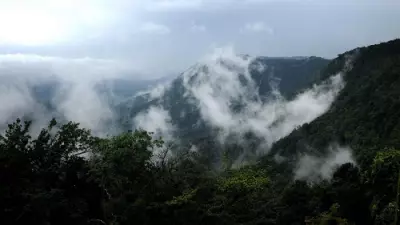
El Niño occurs every 2 to 7 years when weakening trade winds cause warmer-than-average waters in the eastern Pacific Ocean. The phenomenon is associated with higher global temperatures, disrupted rainfall patterns, and changes in hurricane activity. It often brings drought to some regions and heavy rainfall to others.
Potential Impact in 2025
According to the WMO, one major concern is that this year's El Niño could be stronger than usual. While uncertainty remains, some climate models suggest a "strong" event, defined by sea surface temperatures in the eastern Pacific rising at least 1.5 degrees Celsius above average. Scientists have also warned that climate change could intensify the effects of El Niño. Global temperatures have risen by around 1.3 degrees Celsius since pre-industrial times due to greenhouse gas emissions, increasing the likelihood of more severe heatwaves, droughts, floods, and other weather-related disasters.

"When we get an El Niño, because of the underlying climate change ... these things become more intensified and they're more impactful," said Piers Forster, Professor of Physical Climate Change at the University of Leeds, as quoted by Reuters.
Record Heat and Regional Effects
The WMO warned that the combination of climate change and El Niño could make 2027 the hottest year on record. The last El Niño year, 2024, currently holds that record and was classified as a strong event. Scientists noted that the weather pattern affects regions differently. Southern South America and parts of Central Asia typically receive more rainfall during El Niño events, while Central America and Australia often experience drier conditions. The phenomenon can also intensify heatwaves and create favourable conditions for stronger tropical cyclones.
"When you have an El Niño over what climate change already brought, the risks are enormous," said Francisco Aquino, head of the University of Rio Grande do Sul's climate centre. "A strong El Niño can lead to the exact same scenario we saw then, because the world keeps getting warmer, and the temperature in the ocean keeps rising."
The TOI Science Desk, an inquisitive team of journalists, continuously explores the realms of discovery to curate captivating news, features, and articles from the ever-evolving world of science for readers of The Times of India. Consider us your scientific companion, delivering a daily dose of wonder and enlightenment. Whether it's genetic engineering, space exploration, or artificial intelligence, the TOI Science Desk ensures you stay connected to the pulse of the scientific world.