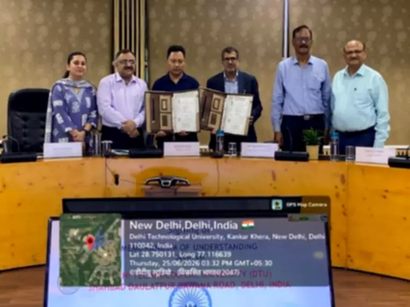
Esri India, the market leader in Geographic Information System (GIS) software, location intelligence, and mapping solutions in India, has signed a Memorandum of Understanding (MoU) with Delhi Technological University (DTU) to establish a Centre of Excellence (CoE) in Geospatial Technologies with a focused thrust on GeoAI. The partnership aims to bridge the gap between industry expectations for geospatial skills and academic programs, equipping the next generation of engineers, researchers, and data scientists with cutting-edge GIS and GeoAI capabilities through world-leading Esri technology.
Key Elements of the Collaboration
Under the MoU, Esri India will support DTU's Department of Geospatial Science & Technology in establishing the CoE with globally renowned ArcGIS software. The center will have access to learning resources and geospatial content through ArcGIS Living Atlas. Esri India aims to enable applied GeoAI solutions, conduct Faculty Development Programs (FDPs), and facilitate merit-based internships for students.
DTU, one of India's premier technological universities, has a strong foundation in geospatial sciences and technologies, computer science, electronics and communication engineering, civil engineering, and space applications. With this collaboration, DTU aims to develop new curricula, particularly for its upcoming undergraduate, postgraduate, and executive programs, and enhance existing courses using the Indo ArcGIS platform.

Industry and Academic Leaders Speak
Agendra Kumar, Managing Director of Esri India, said, "Geospatial intelligence and AI are converging rapidly, and India needs a skilled workforce that can harness this power for real-world impact. Our partnership with DTU through this Centre of Excellence reflects Esri India's commitment to embedding GeoAI thinking into mainstream academia. We look forward to working alongside DTU's faculty and students to build capabilities that will shape how India plans its cities, manages its resources, and prepares for the future."
Prof. Prateek Sharma, Vice Chancellor of DTU, expressed his happiness on the signing of the MoU and hoped it would become a milestone in industry-academia collaboration, emulated by many others. He laid out the vision for the Department of Geospatial Science and Technology (DGST) at DTU, aspiring to be a global leader in geospatial education, research, and consultancy. DGST intends to launch executive Master's programs in Geoinformatics as well as undergraduate programs in Geospatial Science and Geoinformatics. DTU believes the geospatial segment needs to develop a technology vertical and focus on geospatial and space sciences, aiming to establish geospatial science and technology as an independent discipline in the country.
Impact on Students and Research
With Esri's ArcGIS at the heart of the CoE, DTU students and researchers will gain hands-on exposure to technologies that are new and upcoming, as well as those actively used by government agencies, urban planners, defense establishments, and environmental organizations across India. The collaboration is expected to produce a skilled workforce capable of leveraging geospatial intelligence and AI for real-world applications in city planning, resource management, and future preparedness.