US Deletes India Map Showing PoK, Aksai Chin As Part Of Country After Trade Deal Sparks Debate
A map posted by the US Trade Representative during the announcement of a major India-US trade deal has been quietly deleted after it triggered significant diplomatic debate. The visual, which showed Pakistan-occupied Kashmir (PoK) and Aksai Chin as part of India, represented a departure from Washington's established cartographic practices and has raised questions about shifting geopolitical alignments.
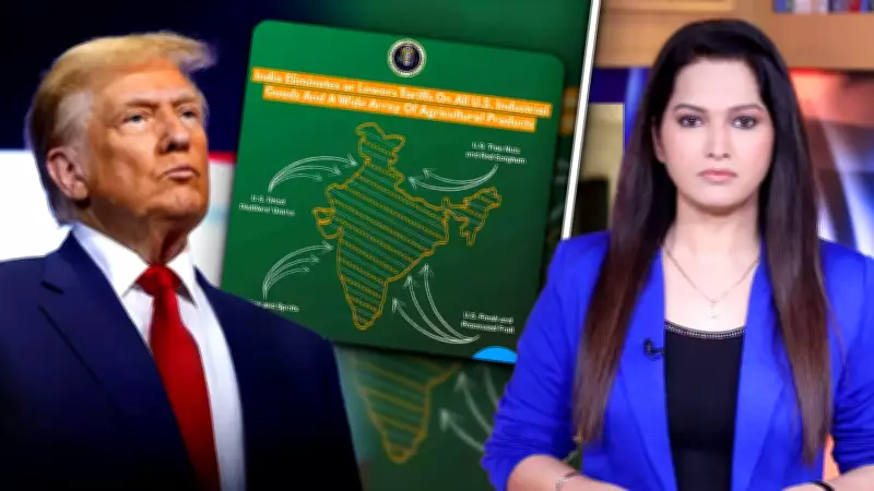
Map Shows Departure From Historical US Cartographic Practice
Historically, US government maps have consistently reflected the disputed status of these territories with separate markings or annotations. This particular version, however, presented the regions as unequivocally part of India without any indication of territorial dispute. The map's brief appearance during the trade deal announcement seemed to align directly with New Delhi's firm and non-negotiable claims over Jammu and Kashmir and Aksai Chin.
The timing is particularly significant as India and the United States are currently lowering tariffs and deepening their strategic partnership across multiple domains. The visual representation of India's territorial claims by a US government agency, even temporarily, carried substantial symbolic weight in diplomatic circles.

Speculation Grows Before Complete Removal
Soon after the map was posted online, speculation began to grow about whether this represented an intentional shift in US policy or simply an administrative oversight. The debate intensified as observers noted the potential implications for Washington's relationships with both Pakistan and China, both of which have competing territorial claims in the region.
Before long, the entire post containing the controversial map was taken down from official channels. This removal suggests that Washington may be exercising caution about formalizing any apparent shift in its cartographic representation amid the complex sensitivities involving multiple regional powers.
Diplomatic Implications of Visual Representation
In international diplomacy, visual representations carry substantial meaning. Maps are particularly potent symbols of sovereignty and territorial claims. The brief appearance of this map, followed by its swift removal, sends multiple messages simultaneously.
On one hand, its initial posting could be interpreted as a subtle acknowledgment of India's position during a period of strengthened bilateral relations. On the other hand, its subsequent deletion reinforces the delicate balancing act the United States must maintain in South Asian geopolitics, where competing claims and alliances require careful navigation.
The episode underscores how even temporary visual representations in official communications can spark significant diplomatic discussion and analysis. Sometimes, removing a map sends as strong a message as posting it, highlighting the nuanced language of international relations where what is shown—and what is retracted—carries equal weight in diplomatic signaling.