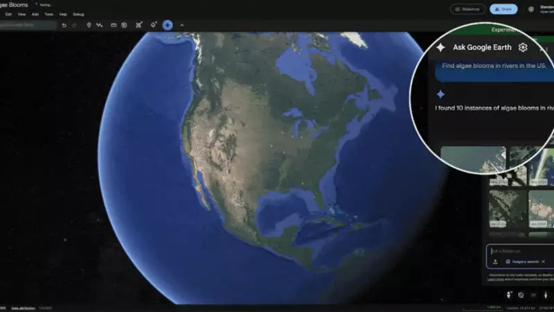
In a revolutionary leap for artificial intelligence and disaster management, Google has developed sophisticated AI models that can interpret and reason with satellite imagery much like the human brain. This breakthrough technology promises to transform how we respond to natural disasters, monitor environmental changes, and understand our planet.
How Google's Geospatial AI Works
The new AI systems can analyze sequential satellite images to track changes over time, identifying everything from new construction projects to deforestation patterns. What makes this technology extraordinary is its ability to understand spatial relationships and context rather than just recognizing objects.
Unlike traditional image recognition systems that might identify a building or road in isolation, Google's models comprehend how different elements relate to each other geographically. This enables the AI to make sophisticated inferences about landscape changes and potential risks.

Real-World Applications for India
For a country like India that faces frequent natural disasters, this technology could be game-changing:
- Flood Prediction and Response: The AI can analyze river patterns, rainfall data, and terrain to predict flood risks with unprecedented accuracy
- Disaster Damage Assessment: Following cyclones or earthquakes, the system can rapidly map affected areas and identify the most severely damaged regions
- Infrastructure Monitoring: Tracking the progress of development projects and identifying unauthorized construction
- Agricultural Planning: Monitoring crop health and predicting yields through seasonal analysis
The Technology Behind the Breakthrough
Google's approach combines multiple AI methodologies, including computer vision, natural language processing, and spatial reasoning. The models are trained on massive datasets of satellite imagery paired with geographical context, enabling them to develop an intuitive understanding of how landscapes evolve.
"This represents a significant step beyond object recognition," explains a Google researcher. "We're teaching AI to understand the story that satellite images tell about our changing planet."
Future Implications
The potential applications extend far beyond disaster response. Urban planners could use the technology to design smarter cities, environmental agencies could track climate change impacts more effectively, and agricultural authorities could optimize food production strategies.
As climate change intensifies and natural disasters become more frequent, technologies like Google's geospatial AI may become crucial tools in building resilience and protecting vulnerable communities across India and the wider world.