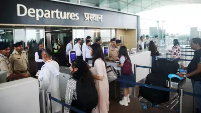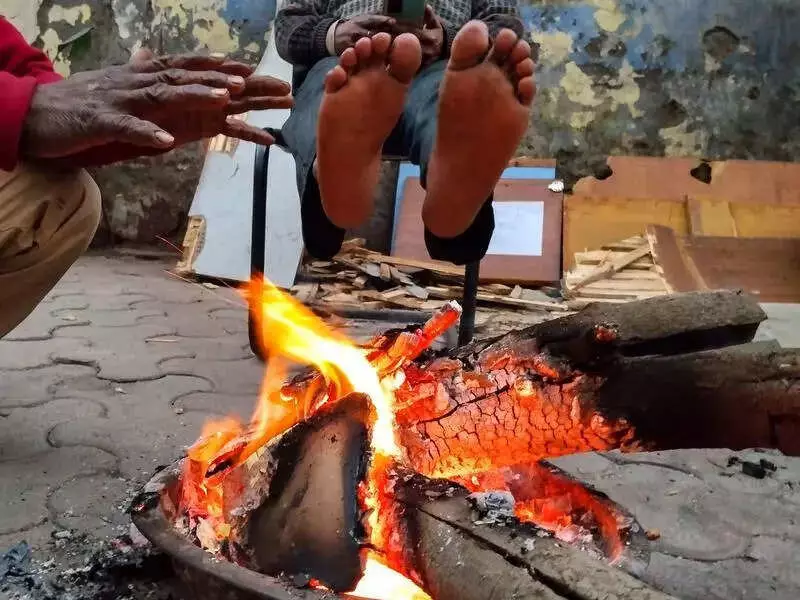
Residents of the national capital woke up to a bone-chilling Tuesday as a combination of dense fog and icy north-westerly winds gripped parts of Delhi, leading to official 'cold day' conditions in isolated areas. The India Meteorological Department (IMD) has issued a yellow alert, warning of similar weather in isolated pockets for Wednesday.
Temperature Plummets Below Normal
The city's base weather station at Safdarjung recorded a maximum temperature of 15.7 degrees Celsius, which is more than three degrees below the normal for this time of year. However, the most severe conditions were felt in Palam, where the mercury struggled to reach 13°C—a significant six degrees below normal—and at Lodhi Road, which saw a maximum of 15.8°C, five notches lower than usual.
According to IMD scientist Krishna Mishra, a 'cold day' is officially declared when the minimum temperature drops below 10°C and the maximum temperature is at least four-and-a-half degrees below the normal. While Tuesday's conditions met this threshold in specific zones like Palam, they did not qualify across the entire city.

Fog, Cloud Cover, and Chilly Winds to Blame
Met officials explained that a thick blanket of fog and cloudy skies blocked sunlight from reaching the surface, causing daytime temperatures to crash. Visibility was severely impacted, with dense fog at Palam reducing it to just 100 metres. Safdarjung experienced moderate fog, with the lowest visibility recorded at 250 metres.
"During this time of the season, strong surface winds cause cold day conditions," said scientist Krishna Mishra. "Chilly westerly winds blowing at 10 to 12 kmph prevailed in the city on Tuesday." The IMD forecasts maximum temperatures to remain between 14 and 16°C on Wednesday.
Air Quality Deteriorates to 'Very Poor'
Adding to the discomfort, Delhi's air quality took a sharp turn for the worse. The Central Pollution Control Board's (CPCB) standard 4 PM reading showed the Air Quality Index (AQI) at 310, firmly placing it in the 'Very Poor' category. This marks a significant decline from Monday's AQI of 244, which was in the 'Poor' range.
Unfortunately, relief is not on the immediate horizon. The Air Quality Early Warning System for Delhi predicts that the city's air will remain in the 'Very Poor' category from Wednesday through Friday, and for the subsequent six days.
A Glimmer of Warmer Days Ahead
There is some hope for a slight rise in temperatures later in the week. The IMD predicts that the maximum temperature may start climbing from Friday, potentially reaching 18 to 20°C. "The wind speed is expected to dip from Friday. This may result in the day temperature starting to rise. Even the low cloud layer is expected to disperse by then, which may increase the hours of sunshine," Mishra added.
This winter, Safdarjung has officially recorded two cold days so far: the first on December 20 with a maximum of 16.9°C, and the second on December 31, when the day temperature plunged to 14.2°C—the lowest December maximum in six years. On Tuesday, the minimum temperature settled at 7.6°C, slightly higher than the previous day's 6.6°C.