
Himachal Pradesh Weather Update: Snowfall in High Reaches, Rain in Mid Hills
On Monday, Himachal Pradesh witnessed a mix of weather conditions, with light snowfall occurring in the higher reaches and rain affecting parts of the mid and low hills. The Meteorological Centre in Shimla has forecast clear skies for the next two days, providing a brief respite from the unsettled weather.
Snowfall and Rainfall Patterns Across the State
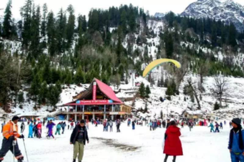
In the high-altitude regions, light snowfall was recorded in areas of Lahaul Spiti and on mountain passes, including the famous Rohtang Pass. Additionally, the Atal Tunnel experienced light snowfall. Meanwhile, parts of Kullu and Mandi districts saw light rain accompanied by thunderstorms and gusty winds during the evening. Hailstorms were also reported in various sections of the state, adding to the dynamic weather scenario.
Temperature Variations and Tourist Destinations
Temperature readings showed significant variations across Himachal Pradesh. Una recorded the highest maximum temperature of 29.4°C, which was 0.7°C below normal, while Tabo in Lahaul Spiti had the lowest minimum temperature of -0.4°C. Other notable temperatures included:

- Neri: 27.1°C
- Kangra: 26.4°C
- Mandi: 25.6°C
- Sundernagar: 25.5°C
- Berthin: 25.4°C
- Bhuntar: 25.3°C
- Nahan: 25.1°C
- Seobagh: 24.2°C
Among popular tourist spots, Dharamshala was the warmest with a maximum temperature of 23°C, followed by Kasauli at 19°C, Shimla at 18.5°C, and Manali at 16.5°C.
Weather Forecast for the Coming Days
The Meteorological Centre predicts clear and dry weather conditions for March 24 and 25 across Himachal Pradesh. However, on March 26, thunderstorms and gusty winds are expected to return to parts of the state, potentially disrupting the calm period. Residents and travelers are advised to stay updated with the latest weather alerts.


