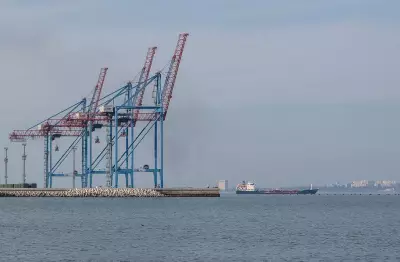

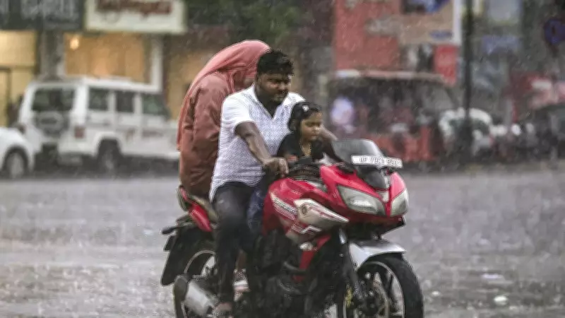
The depression formed over the Bay of Bengal on July 26, 2026, as per the India Meteorological Department (IMD). It is located approximately 130 km south-southeast of Sagar Island (West Bengal), 140 km southeast of Digha (West Bengal), 170 km east of Chandbali (Odisha), and 180 km east-southeast of Balasore (Odisha). The system is expected to bring heavy to very heavy rainfall in several districts of Odisha, including Balasore, Bhadrak, Jagatsinghpur, Kendrapada, and Puri. Fishermen have been advised not to venture into the sea along the Odisha coast as conditions are rough.
Details of the Depression
The IMD reported that the depression is moving west-northwestwards and may intensify further before making landfall. The system is part of the active monsoon period over the Bay of Bengal, which often gives rise to low-pressure systems. The exact wind speeds associated with the depression have not been specified, but typical depressions in the region have sustained winds of 30 to 50 km/h. The depression's proximity to the coast means that coastal areas are at heightened risk of inundation and flooding.
Weather Warnings and Advisories
The IMD has issued a red alert for heavy rainfall in several coastal districts of Odisha. The depression is expected to bring rainfall exceeding 200 mm in isolated areas over the next 48 hours. The state government has been alerted, and disaster response teams are on standby. In addition, the IMD has advised fishermen to stay ashore, and ports along the Odisha coast have been warned of squally weather. The depression may also affect neighboring West Bengal, with heavy showers expected in the districts of Purba Medinipur and South 24 Parganas.

Preparedness Measures
Odisha's Special Relief Commissioner has directed district collectors to remain vigilant and ensure that relief measures are in place. Evacuations may be necessary in low-lying areas prone to flooding. The National Disaster Response Force (NDRF) has been kept on standby for possible deployment. Schools in vulnerable areas have been advised to remain closed as a precautionary measure. The state experiences such depressions frequently during the monsoon season, and the authorities have standard operating procedures to minimize damage.
Monsoon Context
The Bay of Bengal is a breeding ground for monsoon depressions, which typically form during the southwest monsoon season from June to September. These systems contribute significantly to India's annual rainfall. The current depression is part of an active spell, with monsoon trough extending from the depression to the eastern parts of the country. According to IMD records, such systems can cause severe flooding and disruption in coastal states. The public is advised to stay informed through official weather bulletins and avoid unnecessary travel during heavy rain.
Conclusion
The depression over the Bay of Bengal is expected to weaken after crossing the coast, but heavy rain may persist for a couple of days. The IMD continues to monitor the situation and will issue updates as necessary. Residents in affected areas are urged to follow safety guidelines and cooperate with local authorities to ensure safety.