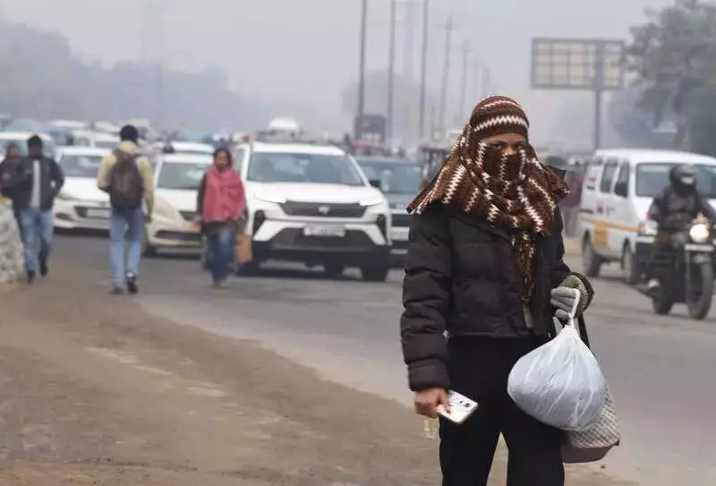
Residents of Delhi-NCR woke up to a dual environmental challenge on Friday: a sharp drop in air quality and a significant dip in temperature. Despite experiencing the season's first very light winter rain, the brief shower proved ineffective in washing away pollutants, leading to a rapid deterioration in air quality across Noida, Greater Noida, and Ghaziabad.
Air Quality Plummets to 'Very Poor' Levels
The much-anticipated light rainfall on Friday morning failed to cleanse the atmosphere. Instead, the Air Quality Index (AQI) slipped back into the 'very poor' category after two consecutive days of 'poor' air. Data from the Central Pollution Control Board (CPCB) portal revealed a concerning spike. Noida logged an AQI of 365, a considerable worsening from 294 recorded on Thursday. Greater Noida followed a similar trend, registering an AQI of 364 compared to 290 the previous day. Ghaziabad's air also deteriorated, reaching an AQI of 347 from 296.
Monitoring stations across the cities painted a grim picture. In Noida, Sector 1 recorded the worst AQI at 384, followed closely by Sector 125 (383) and Sector 116 (370). In Greater Noida, both Knowledge Park V (AQI 376) and Knowledge Park III (AQI 353) recorded 'very poor' air. Ghaziabad's Vasundhara station entered the 'severe' range with an AQI of 404, while Loni (359) and Indirapuram (326) were 'very poor'. Sanjay Nagar, with an AQI of 300, was the only station in the two districts to record 'poor' air quality.

Record Cold Grips the Region
Simultaneously, the region experienced a severe cold snap. Delhi-NCR recorded its coldest January night in two years as the minimum temperature on Friday plunged to 4.6 degrees Celsius. This reading was the season's lowest, settling two degrees below the normal mark. The previous lowest minimum this season was 5.6 degrees Celsius recorded on December 4 and 5. However, the India Meteorological Department (IMD) clarified that this did not qualify as a cold wave.
"The icy cold westerly winds are consistently blowing in the city, leading to a drop in the minimum temperature," explained a Met department official. A cold wave is declared when the minimum temperature is below 10 degrees Celsius and the departure from normal is 4.5 degrees or more, or when the temperature drops below 4 degrees Celsius. IMD data shows a steady decline from 10.6 degrees Celsius on January 1 to 5.8 degrees on Thursday.
Visibility and Weather Forecast
The morning began with dense fog reducing visibility to 600 metres, though conditions improved as the day progressed. The maximum temperature rose to 19.7 degrees Celsius, which was two degrees above normal. Looking ahead, the Met department has issued a yellow alert for moderate to dense fog for Saturday morning.
The forecast predicts continued cold nights. The minimum temperature is likely to hover between 5 and 7 degrees Celsius on Saturday and dip further to between 4 and 6 degrees on Sunday. Daytime temperatures are expected to fall, staying between 16 and 18 degrees Celsius on Saturday and 15 and 17 degrees on Sunday. This combination of poor air and cold weather underscores the ongoing winter challenges for residents of the National Capital Region.