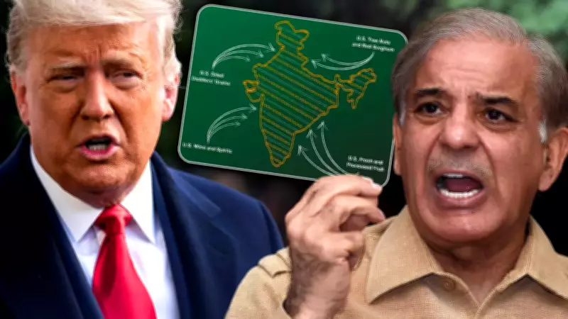
US Trade Deal Post Features Map Showing PoK and Aksai Chin as Part of India, Prompting Swift Pakistani Response
In a development that has intensified diplomatic sensitivities in South Asia, Pakistan moved rapidly to engage with US authorities after an official trade deal post circulated a map portraying Pakistan-occupied Kashmir (PoK) and Aksai Chin as integral territories of India. The incident, which occurred against the backdrop of a crucial reset in India-US trade relations, has sparked a fresh wave of geopolitical friction.
Pakistan's Immediate Objection and the UN Legal Position
Islamabad formally raised objections, labeling the cartographic depiction as "incorrect" and asserting that it does not reflect the established legal position of the United Nations. Pakistani officials emphasized that such representations undermine ongoing diplomatic efforts and regional stability. The swift diplomatic outreach underscores Pakistan's heightened vigilance regarding territorial portrayals in international forums.
Washington's Response: Deletion Without Clarification
Following Pakistan's intervention, US authorities promptly removed the contentious post from their official channels. Notably, no detailed explanation or public statement accompanied the deletion, leaving observers to speculate about the internal deliberations within the US administration. This opaque handling has added a layer of complexity to an already delicate situation.

India's Stance and the Echo of Long-Held Claims
For India, the map—albeit briefly visible—served as a visual affirmation of its consistent position that the entire Union Territory of Jammu and Kashmir, including areas under Pakistani administration (PoK), is an inseparable part of the nation. New Delhi has historically rejected any external claims to these regions, maintaining that territorial integrity is non-negotiable.
Timing Amid Escalating Regional Tensions
The episode's timing is particularly significant, coinciding with:
- A resetting of India-US trade ties, marked by negotiations and strategic dialogues.
- An escalating diplomatic war of words concerning the Shaksgam Valley and the China-Pakistan Economic Corridor (CPEC) 2.0 initiatives.
- China's defense of its infrastructure activities in disputed areas, countered by India's firm rejection of the 1963 Pakistan-China border agreement as "illegal and void."
Broader Implications for Regional Strategic Dynamics
Although the map has been deleted, its brief appearance has amplified an already intensifying strategic contest across the region. The incident highlights how cartographic representations can become flashpoints in international relations, influencing diplomatic maneuvers and national posturing. As India, Pakistan, and China navigate complex territorial disputes, such episodes risk exacerbating existing fault lines and complicating multilateral engagements.
In conclusion, the US trade post map controversy serves as a stark reminder of the enduring sensitivities surrounding territorial sovereignty in South Asia. While the digital artifact may have vanished, its repercussions continue to resonate, shaping the contours of diplomatic interactions and strategic calculations among key regional actors.