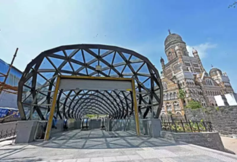
BMC Launches Comprehensive Planning Initiative for Mumbai Metro Line 3 Corridor
The Brihanmumbai Municipal Corporation (BMC) has unveiled an ambitious proposal to conduct detailed local area planning (LAP) exercises for neighborhoods surrounding stations along the Mumbai Metro Line 3 corridor. This initiative represents a significant step toward structured urban development, focusing on land-use optimization, traffic management, and infrastructure enhancement.
Phase One: Four Stations Targeted with Rs 1.37 Crore Budget
In the initial phase, the planning work will concentrate on four specific stations under the provisions of Development Control and Promotion Regulations 33(23), which emphasize Transit Oriented Development (TOD). Administrative approval for this phase has already been secured, with an estimated expenditure of Rs 1.37 crore allocated. This budget breaks down to approximately Rs 34.4 lakh per station, and notably, this expenditure will be exempt from Goods and Services Tax (GST).
The proposal, which is scheduled for review by the civic standing committee on Wednesday, outlines a meticulous approach to urban planning. The methodology will incorporate:

- Satellite imagery analysis to study land-use patterns on base maps
- Comprehensive field surveys including detailed land-use assessments
- Sample household surveys using stratified random sampling methods
- Traffic volume counts and parking assessments
- Traffic circulation mapping verified through on-site inspections
Expanding to All 27 Stations with March 2028 Deadline
Following the initial phase, the same station-wise cost of Rs 34.4 lakh will be applied to the remaining stations along the Mumbai Metro Line 3 corridor, with an additional 10% provision included in the overall estimate. The local area planning exercise is expected to encompass all 27 stations, with the entire project targeted for completion by March 31, 2028.
This comprehensive planning initiative will involve multiple critical components:
- Land-Use Analysis: Planners will prepare existing land-use maps and situation analysis reports to understand current development patterns in each area, including collecting land ownership details and analyzing average plot sizes.
- Road Structure Plans: The proposal calls for detailed surveys of roads ranging between 12 meters and 45 meters in width within study areas. Officials will examine structural conditions and document road components such as pavements, dividers, and lanes.
- Traffic Studies: Comprehensive analysis of traffic flow, pedestrian movement, and parking patterns will be conducted to prepare effective traffic circulation plans.
- Infrastructure Planning: The civic administration will prepare rough cost estimates for necessary road improvement works (excluding beautification elements) and develop road design proposals with detailed reports.
Integrated Planning Reports and Implementation Framework
For each metro station area, the BMC will prepare comprehensive local area plan reports that will include:
- Analysis of existing land use and development patterns
- Specific planning proposals and development policies
- Infrastructure intervention strategies
- Road design proposals with estimated costs
- Implementation framework outlining organizational structures required for project execution
- Regulatory provisions drafted where necessary
The final outcome of this extensive planning exercise will be draft integrated local area plans, combined with circulation and road layout plans for the identified areas. These documents will serve as crucial guides for future development, aiming to improve connectivity and urban functionality in neighborhoods surrounding the Mumbai Metro Line 3 stations.
Officials emphasized that the planning work will specifically identify obstacles affecting road development and create lists detailing road components. The integrated project reports will combine local area plans, traffic circulation plans, and road layout plans into cohesive development blueprints.

This initiative represents Mumbai's commitment to systematic urban planning that aligns with transit-oriented development principles, potentially transforming neighborhoods along one of the city's most important metro corridors through data-driven, comprehensive planning methodologies.