Himachal Pradesh Braces for Rain and Snowfall: Yellow Alert Issued for Multiple Days
The meteorological department has issued a significant weather forecast for Himachal Pradesh, predicting a period of unsettled conditions across the state. Residents and travelers should prepare for light to moderate precipitation, particularly in the elevated regions, accompanied by potential thunderstorms and gusty winds.
Detailed Forecast for Rain and Snowfall
According to the latest predictions, light to moderate rain or snowfall is expected at many places in the high and mid-hill regions of Himachal Pradesh on February 1. This activity is likely to continue at a few locations on February 2 and 3, affecting areas such as Shimla and other popular hill stations. In the low hills and plains, light to moderate rain is also anticipated at many locations on February 1, which could impact daily activities and road conditions.
Yellow Alert and Thunderstorm Warnings
A yellow alert has been officially issued by the authorities, highlighting the risk of severe weather events. The alert warns of thunderstorms accompanied by lightning and gusty winds reaching speeds of up to 60 kilometres per hour at isolated places across the state. This advisory urges caution, especially for those in vulnerable areas or planning outdoor activities, as such conditions can lead to disruptions and safety hazards.

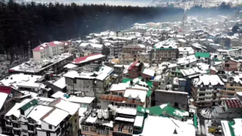
Current Weather Conditions and Temperature Trends
On Saturday, the weather remained dry across Himachal Pradesh, though cloud cover was observed at several places, and the state continued to experience a cold wave. Very dense fog was reported in Bilaspur, reducing visibility and affecting travel. Temperature extremes were notable, with the lowest minimum temperature recorded at -10.2°C in Tabo, Lahaul and Spiti district, and the highest maximum temperature reaching 24.2°C in Una.
Looking ahead, dry weather is expected to prevail on February 4 and 5. Minimum temperatures are likely to remain largely unchanged across the state until Sunday afternoon. However, thereafter, a significant drop is forecasted, with minimum temperatures expected to decrease by 2-5°C and maximum temperatures by 4-8°C, intensifying the cold spell.
Impact of Western Disturbances
The weather patterns are being influenced by incoming western disturbances. A fresh western disturbance is likely to affect northwest India from the night of February 2, contributing to the predicted rain and snowfall. This will be followed by another western disturbance expected from the night of February 5, which may prolong the unsettled conditions and further impact temperatures and precipitation levels in Himachal Pradesh.
Residents are advised to stay updated with local weather reports and take necessary precautions during this period of fluctuating weather. The combination of rain, snow, and cold temperatures underscores the importance of preparedness for potential disruptions in daily life and travel plans.