

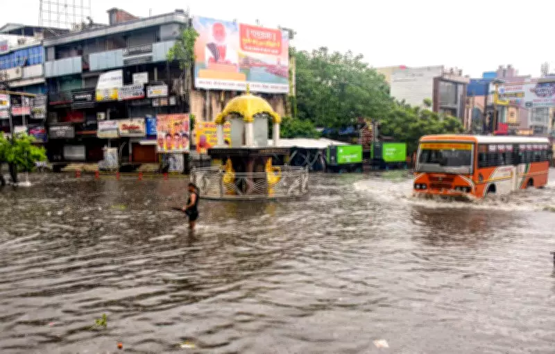
Uttarakhand Braces for Heavy Rainfall; Red Alert Issued for Seven Districts
The monsoon remains highly active across Uttarakhand, with the Meteorological Department issuing a 'red alert' for seven districts for the next 24 hours. The alert covers Dehradun, Tehri, Pauri, Haridwar, Udham Singh Nagar, Nainital, and Champawat, where heavy to very heavy rainfall, along with isolated extremely heavy downpours, is expected.
According to Dehradun Meteorological Centre Director C S Tomar, the Kashipur area in Udham Singh Nagar district recorded over 200 mm of rainfall in the last 24 hours, placing it in the 'extreme rainfall' category. Very heavy rainfall was also recorded in Pauri and Haridwar districts, while several other districts, including Dehradun, experienced heavy rainfall.
Rainfall Forecast for the Next 48 Hours
The Met department has stated that the spell of rain will continue across the state for the next 48 hours. Light to moderate rainfall is expected in most districts, but some locations may witness heavy to very heavy, and occasionally extremely heavy, rainfall.

For Friday, a forecast of very heavy to extremely heavy rainfall has been issued for Udham Singh Nagar, Nainital, and Champawat. Dehradun, Pauri, and Bageshwar are likely to experience heavy to very heavy rainfall, while a heavy rainfall alert has been issued for the remaining districts.
Weekend and Early Next Week Forecast
On Saturday, heavy rainfall is likely to lash Dehradun, Pithoragarh, Udham Singh Nagar, Champawat, Nainital, and Bageshwar. Forecasts for heavy rainfall have also been issued for Bageshwar, Chamoli, Rudraprayag, Nainital, and Champawat on July 12, and for Bageshwar, Chamoli, and Pithoragarh on July 13.
According to the Meteorological Department's seven-day forecast, light to moderate rain and thundershowers are likely in most parts of the state on July 9 and 10, and at several locations from July 11 to 15.
Potential Risks and Warnings
In view of the continuous rainfall, the Meteorological Department has warned of risks such as landslides, rockfalls, disruptions to roads and national highways, rising water levels in rivers and streams, flash floods, waterlogging in low-lying areas, and lightning strikes. Residents in affected areas are advised to take necessary precautions and stay updated with the latest weather alerts.